14 Dead in Alabama so far

Initial reports put the death toll in Alabama at fourteen with at least 8 deaths at Enterprise High School. Initial projections suggest at least two EF3 tornados and one EF4 tornado roared across the state.

At the time of this writing there are still active tornado warnings and there remains a threat for much of Alabama. Gulf Shores is experiencing perhaps the strongest weather of the dat at this time, 6:07pm, and it should be over for us in about 30 minutes.

The storms in Central Alabama are starting to line up and the tornado threat appears to be diminishing. It will still be dangerous across the state for the next few hours then the front itself will pass and we can put this one in the history books.

On a personal note: My prayers are with the children and their families from Enterprise and with the families across the state that lost loved ones today. So far, 14 dead and that number may yet rise.

In a severe weather event, avoid places like your car, mobile homes, open-style buildings such as gymnasiums, churches, and warehouses, and also do not try to use an overpass as a shelter.

Go to the lowest floor of the building, trying to stay in the center as best as possible.
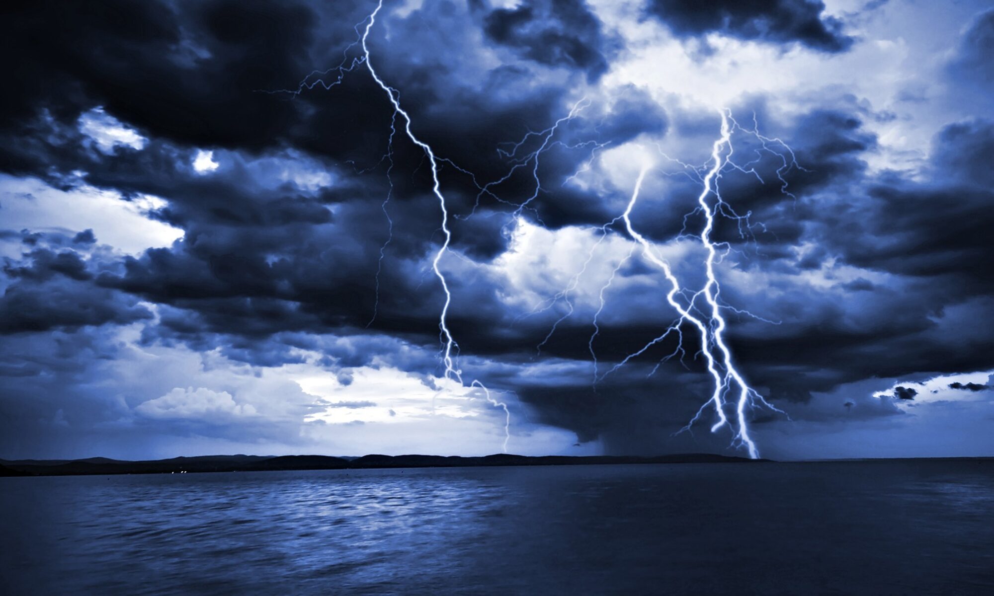
Storms moving through

Today’s weather event is well underway with multiple warnings issued across the SouthEast. Development is expected to continue throughout the day and into the evening.

The Day One outlook has the entire state of Alabama catagorized as HIGH RISK for severe weather as evidenced by the graphic. The current storms are well ahead of the front, meaning that the “Big Show” is still several hours away. At the time of this writing, there are 11 Severe Thunderstorm warnings, 7 Tornado Warnings, and 1 Flash Flood warning.
Spotters have identified several funnel clouds and at least two tornados on the ground in Mississippi and Central Alabama. Schools in North Central Alabama are closing, most around noon today. I will continue to monitor this system and update as the main threat approaches.

New Severe Weather Threat

The first supercell has formed near Emporia Kansas, this storm is producing hail, winds in excess of 100mph and radar indicates a possible tornado with this rotating storm.
The storm already has a history of producing tornados.

With our location, the high dewpoints and upper level instability should place us in a TORNADO AND SEVERE THUNDERSTORM WATCH zone over night and into the morning hours.
Again, any in the MS, AL, TN, AR areas should have their NOAA radios with them throughout the night and tomorrow.

At the time of this writing, the models are VERIFYING, meaning that this system is likely to be more intense than the one that hit Louisiana over last weekend and Alabama should see a potential severe weather outbreak with widespread severe storms and possible tornados.

This threat will remain over the night hours and during the day on March 1, 2007. The graphic is of the tornado producing supercell thunderstorm in Kansas.