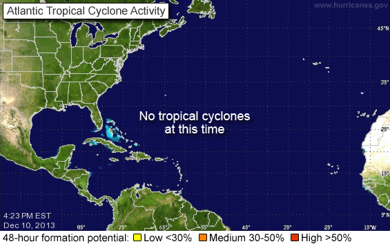
Tropical Storm Paloma developed over the past 36 hours from a tropical depression in the western Caribbean. The storm is forecast to make Hurricane status sometime on Friday. The storm will cross central Cuba to the northeast on Sunday and Monday and will also affect the Bahamas and south Florida.
Persons in the Florida Keys and the southern counties in Florida or who plan on visiting those areas are being asked to watch the progress of this storm carefully. We will post additional information as it becomes available.
Please use the first link below for Tropical System information and the second link below for active watches, warnings and data.
http://www.nhc.noaa.gov/
http://www.weather.gov/largemap.php
================================================== =======
“THIS IS NOT AN OFFICIAL ADVISORY. These updates and advisories are based upon information from our own computer models, NOAA, Local Weather Data Centers, deep water Buoy Data, and other publicly available sources. FOR THE SAFETY OF YOUR PROPERTY AND PERSON, please refer to your Local, State, and Federal Authority updates for Official Advisories and Orders. For up to the minute advisories and official updates, it is essential that you monitor your local Emergency Government, NOAA and Local Media Broadcasts. Please do not make personal safety decisions based upon information presented here in this Unofficial Advisory.”
==================================================

