Hurricane Alex Update – Wednesday, June 30, 5:00 AM – CDT

Named Storm Alex was upgraded to Hurricane level status late Tuesday evening. The storm intensity continues to increase and this storm may make Category 2 strength before making landfall near the Texas/Mexico border late Wednesday evening, June 30 or early on Thursday, July 01. Regardless of exactly where the center of the storm comes ashore, this is a large width storm and will affect a very large area with coastal flooding from storm surge and huge amounts of localized rain. This will be mainly in southeastern Texas and eastern Mexico.

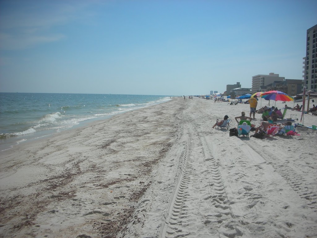
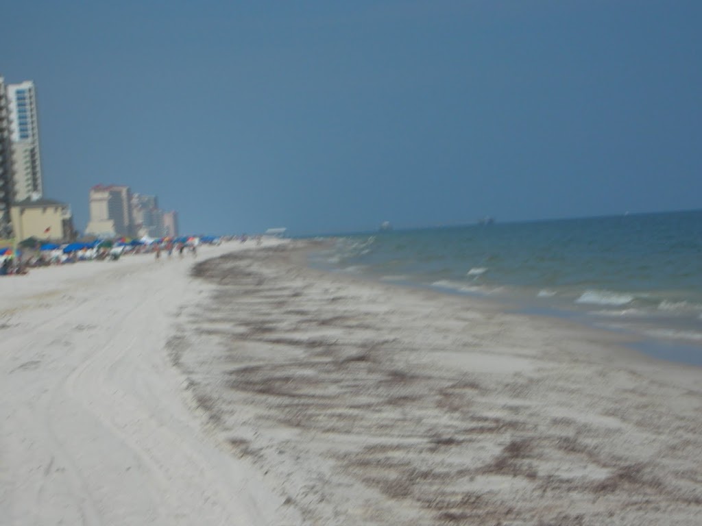
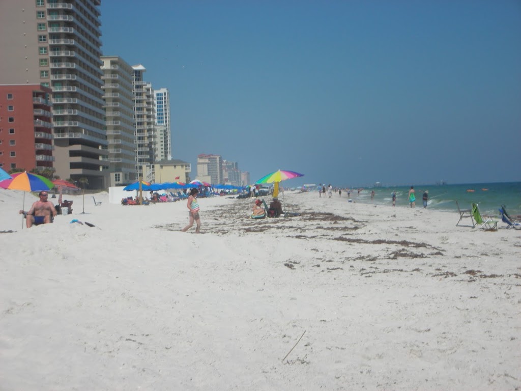
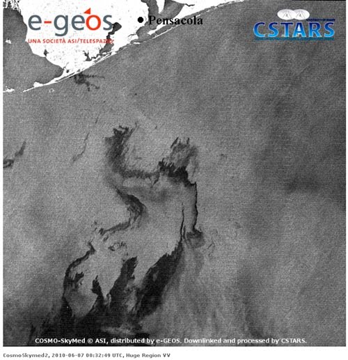
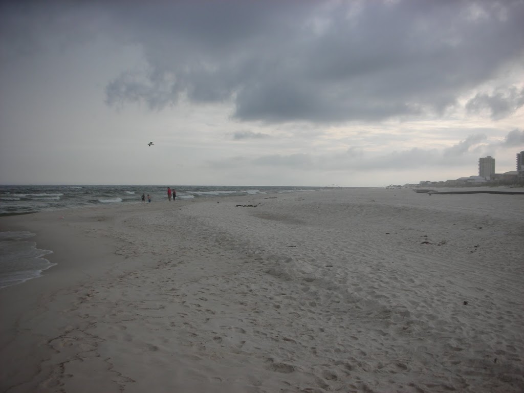
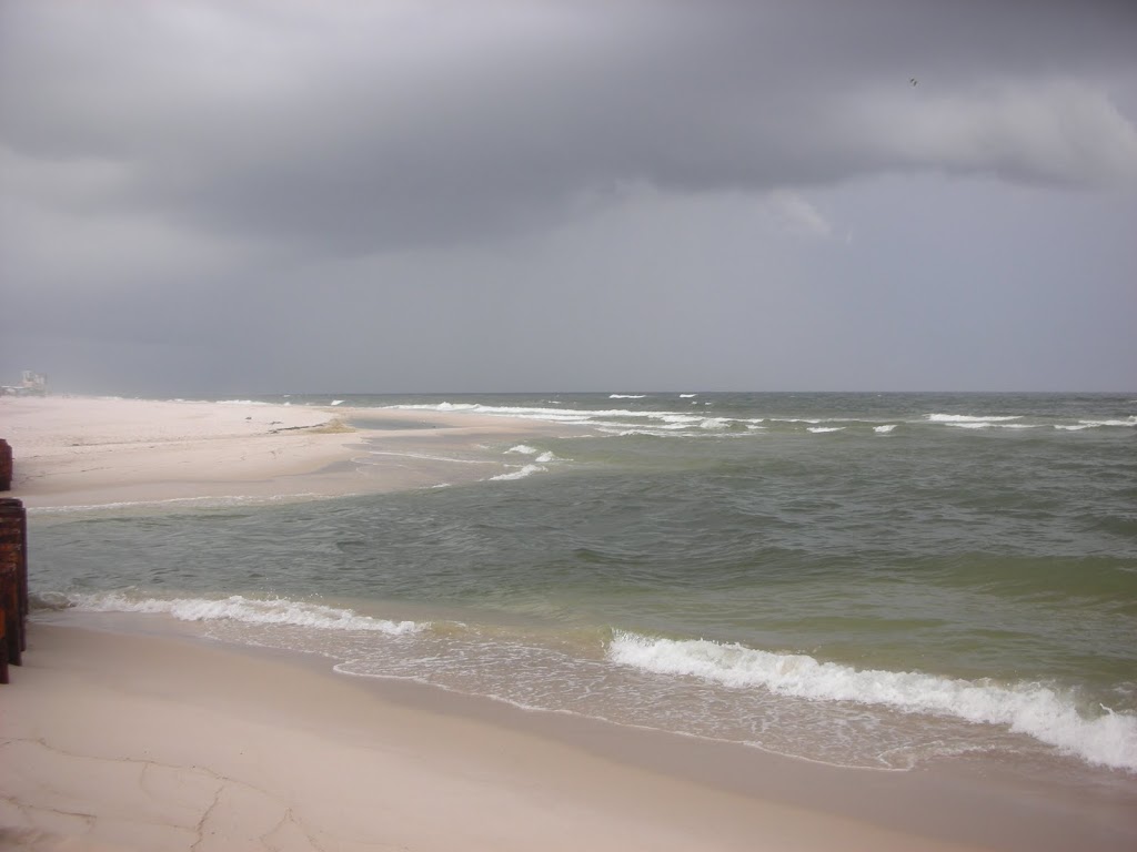
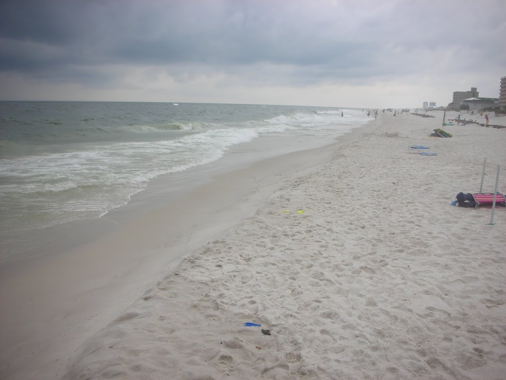
The northeastern quadrant of this storm continues to produce higher than normal tides and surf into Coastal Louisiana, Mississippi, Alabama and the northwestern portion of Florida. This is also pushing higher concentrations of oil slick onto shoreline areas and wetlands.

We will continue to monitor this dangerous storm and will post unofficial updates as necessary.

For up to the minute updates, please visit the NHC site below. Our next unofficial advisory will be posted as conditions warrant.

http://www.nhc.noaa.gov/

=============================================

“THIS IS NOT AN OFFICIAL ADVISORY. These updates and advisories are based upon information from our own computer models, NOAA, Local Weather Data Centers, deep water Buoy Data, and other publicly available sources. FOR THE SAFETY OF YOUR PROPERTY AND PERSON, please refer to your Local, State, and Federal Authority updates for Official Advisories and Orders. For up to the minute advisories and official updates, it is essential that you monitor your local Emergency Government, NOAA and Local Media Broadcasts. Please do not make personal safety decisions based upon information presented here in this Unofficial Advisory.”

============================================

Tropical Storm Alex Update Monday June 28 (AM)

Tropical Storm Alex: Monday, June 28, 2010 05:00 Hrs. CDT

As predicted, the storm crossed the Yucatan Peninsula over the weekend and emerged into the southern Gulf of Mexico late Sunday. At 5:00 AM CDT, Monday, the top sustained winds are at 53 MPH with gusting to 67. This storm has slowed its northwesterly movement and that means that it will have more time to develop over the very warm Gulf waters. Our computer modeling is showing intensification to Category 1 Hurricane strength by mid-day Tuesday, June 29 or possibly earlier. The upper level steering currents are very weak in the area at this time and a northwesterly track across the southern Gulf of Mexico is still anticipated. This storm has the potential to reach strong Category 2 Hurricane strength later this week and we are anticipating an eastern Mexico or southeastern Texas landfall on Thursday, July 01 into Friday, July 02.

When this storm intensifies, the right side of the storm, especially, (east side) will have some effect on wave action and tides along the northern Gulf Coast… where the oil spill is. Some additional oil movement with this impending Hurricane is inevitable. While the central part of the storm itself will be well west of the spill area, the width of this storm will produce interaction with the spill and officials are monitoring this additional problem hourly.

For up to the minute updates, please visit the NHC site below. Our next unofficial advisory will be posted as conditions warrant.

http://www.nhc.noaa.gov/

=============================================

“THIS IS NOT AN OFFICIAL ADVISORY. These updates and advisories are based upon information from our own computer models, NOAA, Local Weather Data Centers, deep water Buoy Data, and other publicly available sources. FOR THE SAFETY OF YOUR PROPERTY AND PERSON, please refer to your Local, State, and Federal Authority updates for Official Advisories and Orders. For up to the minute advisories and official updates, it is essential that you monitor your local Emergency Government, NOAA and Local Media Broadcasts. Please do not make personal safety decisions based upon information presented here in this Unofficial Advisory.”

=============================================

Tropical Storm Alex – First of 2010

2010 Named Storm Alex – formed in the west central Caribbean Sea early Saturday, June 26. This storm is moving to the west-northwest and is traveling over very warm surface water. We are expecting this storm to intensify slightly before it moves over the Yucatan Peninsula. It will then emerge into the Gulf of Mexico and it’s shape, track and remaining energy after being over land is difficult to predict.

Computer modeling is showing several possible tracks in the Gulf of Mexico due to a number of variables. We are closely monitoring this storm and will post unofficial updates as needed. However, persons all along the Gulf Coast of the US should monitor this storm’s progress.

Please use the link below for frequent updates from the National Hurricane Center in Miami:

http://www.nhc.noaa.gov/

=============================================

“THIS IS NOT AN OFFICIAL ADVISORY. These updates and advisories are based upon information from our own computer models, NOAA, Local Weather Data Centers, deep water Buoy Data, and other publicly available sources. FOR THE SAFETY OF YOUR PROPERTY AND PERSON, please refer to your Local, State, and Federal Authority updates for Official Advisories and Orders. For up to the minute advisories and official updates, it is essential that you monitor your local Emergency Government, NOAA and Local Media Broadcasts. Please do not make personal safety decisions based upon information presented here in this Unofficial Advisory.”

=============================================

Oil Spill – June 12, 2010

The water is clear, however, small tar balls can be seen as far as the eye can see. These pictures were taken from Edgewater West, along the western beach in Gulf Shores, Alabama. There were many people on the beaches, sunning and relaxing, but the water had no one in it. In the final picture, you can see the ships skimming in oil in the distance.
According to Brett-Robinson, rentals are down by around 30%, and as conditions worsen, that number will probably rise. The odor is not bad at all for now.


Day 50 – Oil Spill

Isolated tar balls have been reported and rapidly cleaned, but for the most part the beaches remain clear and people were enjoying the sands and the water today. Given the nature of this blog, it is nice to report good news in what could become a complete disaster. As this slow-motion crisis evolves, we will continue to report. The final image, presented by http://www.wunderground.com/ paints an ominous picture of what is lurking in the Gulf of Mexico.


The oil spill on June 6, 2010 at 8:32pm EDT, as seen by Synthetic Aperture Radar (SAR) imagery from the Italian Cosmo-SkyMed (COnstellation of small Satellites for Mediterranean basin Observation) satellite. A large region of oil was a few miles offshore of Pensacola, Florida. Image credit: University of Miami Center for Southeastern Tropical Advanced Remote Sensing, Rosenstiel School of Marine and Atmospheric Science.


Additional Pictures

A view down the beach at Laguna Key.

The surf at Little Lagoon Pass. The thundershower in the distance was a rather loud one as it moved over the area.

A pelican watching the water for his next meal.

Gulf Shores Oil Spill

This picture depicts the sand barrier to “Little Lagoon Pass”, the barrier and the oil boons are in place to attempt to prevent the oil entering protected waters.

We have these pictures of our beaches and will update daily. The picture above was taken at Edgewater West, There were no traces of oil.

Oil Begins Showing

Oil has begun washing ashore in Gulf Shores Alabama. According to the Mobile Press/Register, attempts at cleanup have been unsuccessful. Orange Beach has reported tar balls as well. We will provide more information as it is available.

An “Oil’Cane”

From the current conditions in the Atlantic as well as conditions in the Gulf of Mexico, this season appears ripe for a major storm. The SST’s (Sea Surface Temperatures) are running higher than the past couple of hurricane seasons. Upper level shear is rather low, though we do expect that shear to increase later this summer off of the coast of Africa.

Sadly, the EPAC storm Agatha, while only a tropical storm, claimed over 90 lives in Guatemala. 150 and rising in Central America.
In the Northern areas of the Gulf of Mexico, the interest is on the blown well and the oil slicks and plumes traversing our waters. Dr. Jeff Masters has done some research about the possibilities, but reached the same conclusion we all have. We simply do not know.
What we do know is this: A major hurricane would be very bad. The oil spill is very bad.
A hurricane of any size will churn the water and hasten the dissipation of the oil. Would that create a doomsday scenario sending oil in the winds 10 miles inland?
I doubt it.
Would that event destroy our marshes?
I think so.
What we do know is this:
1) We have the potential for a strong hurricane season.
2) The plumes COULD affect any land falling storms in the Gulf of Mexico.
3) The oil and sheen could wreak havoc.
4) Based on the long term forecasts, we do have the option of a more aggressive season and we all have a new threat, yet, we should prepare as we do each year.