Special Weather Statement – January 10, 2013 05:40 AM CST – Gulf Coast States >
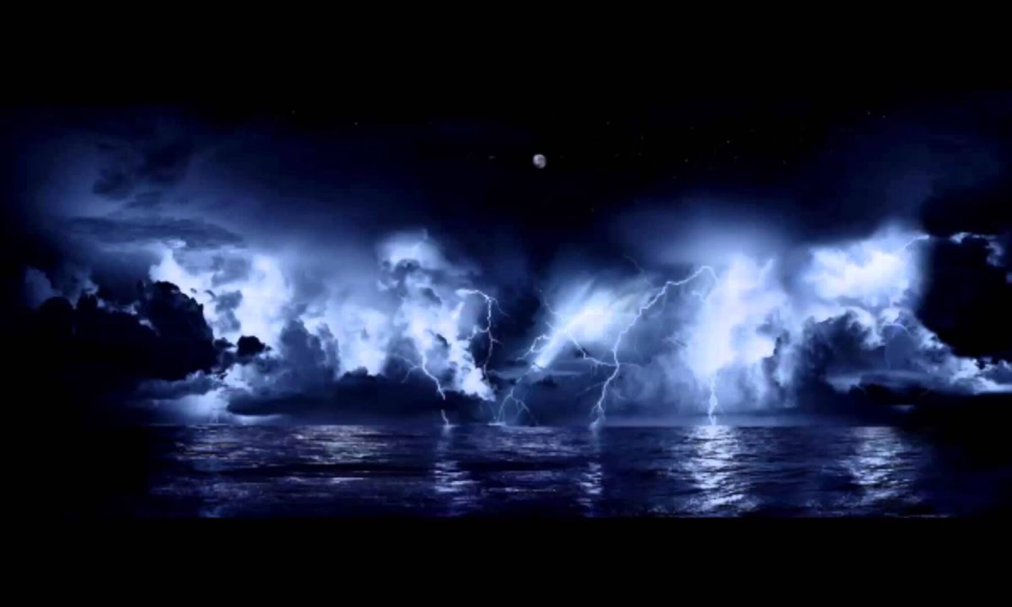
A line of severe thunderstorms will be moving from near the Texas / Louisiana border to the east and northeast as the day progresses. Many parts of Louisiana and Mississippi are already under Tornado Watch advisories and persons in the southern half of Louisiana, south to central Mississippi and central to northern Alabama are being asked to monitor local weather information and broadcasts today. This system will move into states further east by Friday and additional advisories will be issued by The National Weather Service.
We are providing an interactive National Weather Service map in the link below. Persons in these areas may wish to click on your home area on the map to get official updates and conditions.
CLICK >>> http://www.nws.noaa.gov/largemap.php
=============================================
“THIS IS NOT AN OFFICIAL ADVISORY. These updates and advisories are based upon information from our own computer models, NOAA, Local Weather Data Centers, deep water Buoy Data, and other publicly available sources. FOR THE SAFETY OF YOUR PROPERTY AND PERSON, please refer to your Local, State, and Federal Authority updates for Official Advisories and Orders. For up to the minute advisories and official updates, it is essential that you monitor your local Emergency Government, NOAA and Local Media Broadcasts. Please do not make personal safety decisions based upon information presented here in this Unofficial Advisory.”
Tropical Storm Research Center, Gulf Shores, Alabama –
http://www.wootaah.blogspot.com
============================================
