Named Storm Hermine – 2016

Tropical Storm Hermine  formed  from Tropical Depression Nine in the south central Gulf of Mexico. This storm is  moving generally northeast and will be producing heavy rainfall, gusty winds, high surf, rip currents, some tornadoes, lightning and lowland flooding along most of the Gulf Coast of Florida from just south of Tampa to around Panama City through Friday,  September 2.  The storm will make landfall near Apalachicola and St. George Island on Thursday and will cross Florida to the northeast. The storm will then produce rain squalls in southern Georgia and along the Atlantic Coast of the US from central Florida to near the North Carolina / Virginia border by this coming weekend.  Some intensification may be possible before landfall.

All persons in coastal and central Florida, Georgia and the Carolinas should be monitoring this storm.

UPDATE 3 PM EDT Thursday, September 01, 2016: 

Named Storm Hermine has made Category 1 Hurricane status. All details in the post above remain current. Central storm winds are at 75 MPH with gusting to 88 MPH in places. The storm will track over northern Florida and southern Georgia overnight and will track up the coastal areas of South Carolina, North Carolina and southeastern Virginia over the next couple of days. The storm may interact with a high pressure system over the Mid Atlantic area and stall. This may bring heavy rains and coastal issues from Virginia to New England. All persons in the path of this storm should be monitoring local weather advisories for official information.
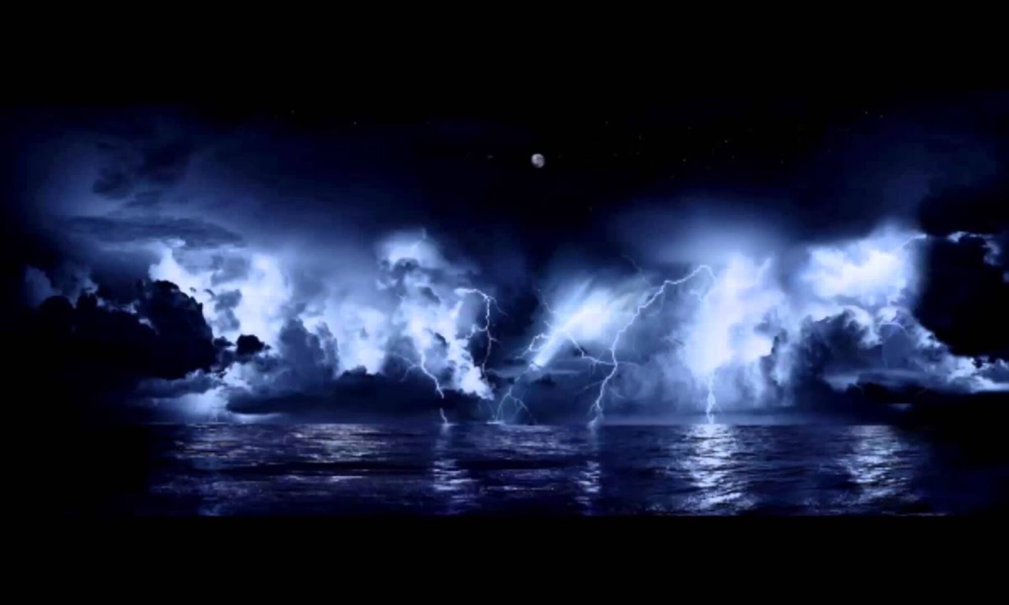
Please use the link below to the National Hurricane Center for official advisories.
 
 
==================================================
 
“These are not official advisories. These updates and advisories are based upon information from our own computer models, NOAA, Local Weather Data Centers, deep water Buoy Data, and other publicly available sources. FOR THE SAFETY OF YOUR PROPERTY AND PERSON, please refer to your Local, State, and Federal Authority updates for Official Advisories and Orders. For up to the minute advisories and official updates, it is essential that you monitor your local Emergency Government, NOAA and Local Media Broadcasts. Please do not make personal safety decisions based upon information presented here.”
 
 
Tropical Storm Research Center, Gulf Shores, Alabama
 
=============================================

Tropical Depression Nine affecting Florida – 2016

Tropical Depression Nine is currently west of Key West, Florida.

At this hour, this storm that is starting to affect Florida, has still not yet been named. It is currently “Tropical Depression Nine”.  Storm Hunter aircraft and coastal radar will monitor the storm center for organization and it may possibly become a Tropical Storm today.

Out of an abundance of caution, we are mentioning that as the jet stream picks up the storm later today, the northwest to southeast mid level winds will interact with the generally south to north winds around the right front quadrant of the storm itself. This “shear” may cause horizontal rotation within thunderstorms and when the storms lift vertically, the horizontal rotation becomes vertical rotation and forms tornadoes.

The area in Florida that may see the greatest risk of heavy rain, gusty wind and tornado formation would be from Panama City to Marco Island to the west and from the coastal Florida / Georgia line down to around Port St. Lucie to the east. All persons in Florida and southeastern Georgia should be monitoring this storm.

Please use the link below to the National Hurricane Center for official advisories.
 
 
==================================================
 
“These are not official advisories. These updates and advisories are based upon information from our own computer models, NOAA, Local Weather Data Centers, deep water Buoy Data, and other publicly available sources. FOR THE SAFETY OF YOUR PROPERTY AND PERSON, please refer to your Local, State, and Federal Authority updates for Official Advisories and Orders. For up to the minute advisories and official updates, it is essential that you monitor your local Emergency Government, NOAA and Local Media Broadcasts. Please do not make personal safety decisions based upon information presented here.”
 
 
Tropical Storm Research Center, Gulf Shores, Alabama
 
=============================================

Tropical Low Pressure (Invest 99-L) may be a concern:

Tropical Low Pressure area ( Invest 99-L ) may be a concern:
 
A Tropical Low, (not named as of this posting) is making it’s way through the Lesser Antilles and will start moving toward Bermuda in a day or so. This storm system, while not completely organized as yet, has significant potential and may affect south Florida this weekend and could possibly move into the Gulf of Mexico in 4 to 7 days.
 
ALL PERSONS in Florida, coastal Georgia and states bordering the Gulf of Mexico should be monitoring this developing situation.
 
Please use the link below to the National Hurricane Center for official advisories.
 
 
==================================================
 
“These are not official advisories. These updates and advisories are based upon information from our own computer models, NOAA, Local Weather Data Centers, deep water Buoy Data, and other publicly available sources. FOR THE SAFETY OF YOUR PROPERTY AND PERSON, please refer to your Local, State, and Federal Authority updates for Official Advisories and Orders. For up to the minute advisories and official updates, it is essential that you monitor your local Emergency Government, NOAA and Local Media Broadcasts. Please do not make personal safety decisions based upon information presented here.”
 
 
Tropical Storm Research Center, Gulf Shores, Alabama
 
=============================================

Named Storm Gaston – 2016

Tropical Storm Gaston formed in the  Atlantic from Tropical Depression Number 7. This storm is moving west northwest at just under 20 MPH and is located in the  Atlantic roughly 500 miles WSW of the Cape Verde Islands. The current movement of this storm is in the general direction of Bermuda. Further development is expected and this Tropical Storm may be upgraded to Hurricane status within 48 hours.  We will update Storm Information  if this storm poses any threat to coastal US, however, a turn to the north this coming weekend, because of an interaction with another Atlantic weather feature, may keep this storm at sea .  In the mean time, please use the link below to the National Hurricane Center for official advisories.

http://www.nhc.noaa.gov/,

==================================================
 
“These are not official advisories. These updates and advisories are based upon information from our own computer models, NOAA, Local Weather Data Centers, deep water Buoy Data, and other publicly available sources. FOR THE SAFETY OF YOUR PROPERTY AND PERSON, please refer to your Local, State, and Federal Authority updates for Official Advisories and Orders. For up to the minute advisories and official updates, it is essential that you monitor your local Emergency Government, NOAA and Local Media Broadcasts. Please do not make personal safety decisions based upon information presented here.”
 
Tropical Storm Research Center, Gulf Shores, Alabama.
==================================================

Named Storm Fiona – 2016

Tropical Storm Fiona formed in the  Atlantic from Tropical Depression Number 6. This storm is moving northwest at 15 MPH and is located in the Mid Atlantic roughly half way between the west African Coast and Puerto Rico. The current movement of this storm is in the general direction of Bermuda, but several upper level conditions will be affecting this storm over the next 5 to 7 days which may slow development.  We will update Storm Information  if this storm poses a threat to coastal US.  In the mean time, please use the link below to the National Hurricane Center for official advisories.

http://www.nhc.noaa.gov/

==================================================
 
“These are not official advisories. These updates and advisories are based upon information from our own computer models, NOAA, Local Weather Data Centers, deep water Buoy Data, and other publicly available sources. FOR THE SAFETY OF YOUR PROPERTY AND PERSON, please refer to your Local, State, and Federal Authority updates for Official Advisories and Orders. For up to the minute advisories and official updates, it is essential that you monitor your local Emergency Government, NOAA and Local Media Broadcasts. Please do not make personal safety decisions based upon information presented here.”
 
Tropical Storm Research Center, Gulf Shores, Alabama.
==================================================

Named Storm Earl – 2016

Tropical Storm Earl formed in the mid Caribbean from a tropical wave.  This storm is moving westerly and has the potential to strengthen over the next few days.  Persons along the Gulf Coast of the US and especially east central Mexico and southeastern Texas, should monitor the progress of this storm.  We will update this early unofficial advisory as needed.  Please use the link below to the National Hurricane center in Miami for official updates and advisories:

http://www.nhc.noaa.gov/

==================================================
 
“These are not official advisories. These updates and advisories are based upon information from our own computer models, NOAA, Local Weather Data Centers, deep water Buoy Data, and other publicly available sources. FOR THE SAFETY OF YOUR PROPERTY AND PERSON, please refer to your Local, State, and Federal Authority updates for Official Advisories and Orders. For up to the minute advisories and official updates, it is essential that you monitor your local Emergency Government, NOAA and Local Media Broadcasts. Please do not make personal safety decisions based upon information presented here.”
 
Tropical Storm Research Center, Gulf Shores, Alabama.
==================================================