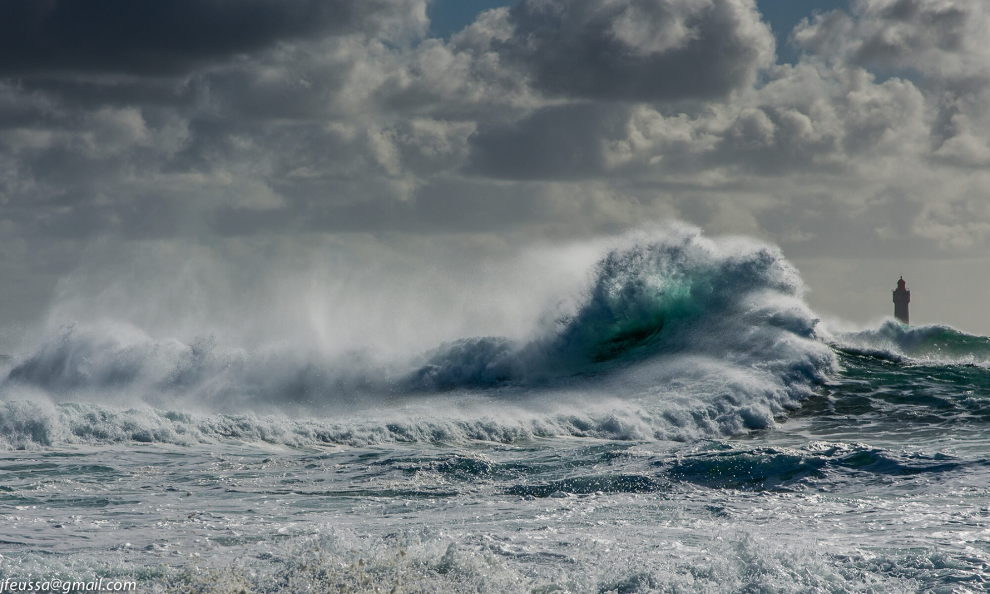
The staff here at the Tropical Storm Research Center is already preparing for the 2020 Tropical Storm season. Our software is being refined and our research into storm formation potential is ongoing 12 months of the year.
In this “off season”, we would like to offer a link to the National Weather Service Interactive Map so you can check on watches, advisories and warnings for any area of the US by simply clicking on any map location.
https://www.weather.gov/
We will be back in May 2020 with pre-season preparedness information. Take care and Be Safe.
Special Unofficial Weather Statement for January 11 and 12, 2020.
Special Unofficial Weather Statement for January 11 and 12, 2020.
A strong low pressure system will be moving across the south central US this weekend. There is also a cold high pressure trough that will be moving southeast from central Canada.
These two systems will be interacting to create severe thunderstorms across a wide area of the deep south. There will also be a high probability of heavy snowfall in the upper Midwest in many areas.
Please use the NWS interactive map link below to check on conditions, watches and warnings for your area. Take care and be safe.
===============================================
“These are not official advisories. These updates and advisories are based upon information from our own computer models, NOAA, Local Weather Data Centers, deep water Buoy Data, and other publicly available sources. FOR THE SAFETY OF YOUR PROPERTY AND PERSON, please refer to your Local, State, and Federal Authority updates for Official Advisories and Orders. For up to the minute advisories and official updates, it is essential that you monitor your local Emergency Government, NOAA and Local Media Broadcasts. Please do not make personal safety decisions based upon information presented here.”
Tropical Storm Research Center, Gulf Shores, Alabama
============================================
