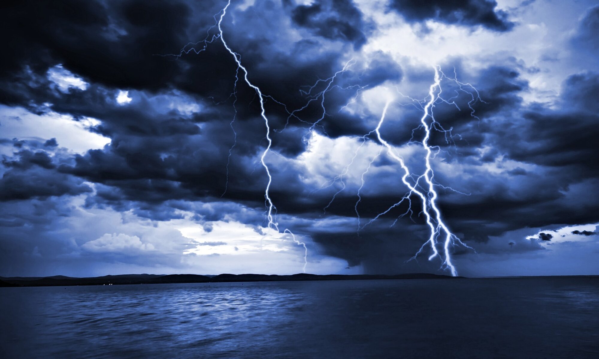
For those persons who live in the Gulf Coast States: You may already be looking carefully at the developing southern Gulf of Mexico storm. This has the potential to drench southwestern and central Florida with up to 20 inches of rain in places. However, it all depends upon the TIMING of a trough of low pressure entering the general area as to where this storm will be steered. If the trough fails to pick up the storm, it may go north or even westerly instead of into Florida’s Gulf Coast. Please monitor your local weather stations and media for local updates.
For up to the minute official advisories and information, please visit the NHC website in Miami:
We are also providing an interactive Watch and Warning web link for persons who wish to get details on localized conditions:
http://www.nws.noaa.gov/largemap.php
=============================================
“THIS IS NOT AN OFFICIAL ADVISORY. These updates and advisories are based upon information from our own computer models, NOAA, Local Weather Data Centers, deep water Buoy Data, and other publicly available sources. FOR THE SAFETY OF YOUR PROPERTY AND PERSON, please refer to your Local, State, and Federal Authority updates for Official Advisories and Orders. For up to the minute advisories and official updates, it is essential that you monitor your local Emergency Government, NOAA and Local Media Broadcasts. Please do not make personal safety decisions based upon information presented here in this Unofficial Advisory.”
http://www.wootaah.blogspot.com
============================================
