
The NHC gives an area of Low Pressure near the Bay of Campeche a 10% chance of developing. None of the models develop this system, but there is an outlier chance of some development before low moves inland near the Texas/Mexico border.
Elsewhere, a trough has established itself of much of the Central and Eastern United States. Near the Gulf of Mexico, along the Mississippi, Alabama, and Florida coasts, the area of disturbed weather is exhibiting some tropical characteristics. While severe weather is not expected to be widespread, heavy rainfall, localized flash flooding, and dangerous rip currents are a distinct possibility now through Friday. Additionally, the cities of Orange Beach and Guld Shores are flying the purple flags which indicate dangerous marine life, in this case, jellyfish and stingrays are the culprits. Those of you enjoying the Fourth of July along the Gulf Coast, have a good time and stay safe out there.
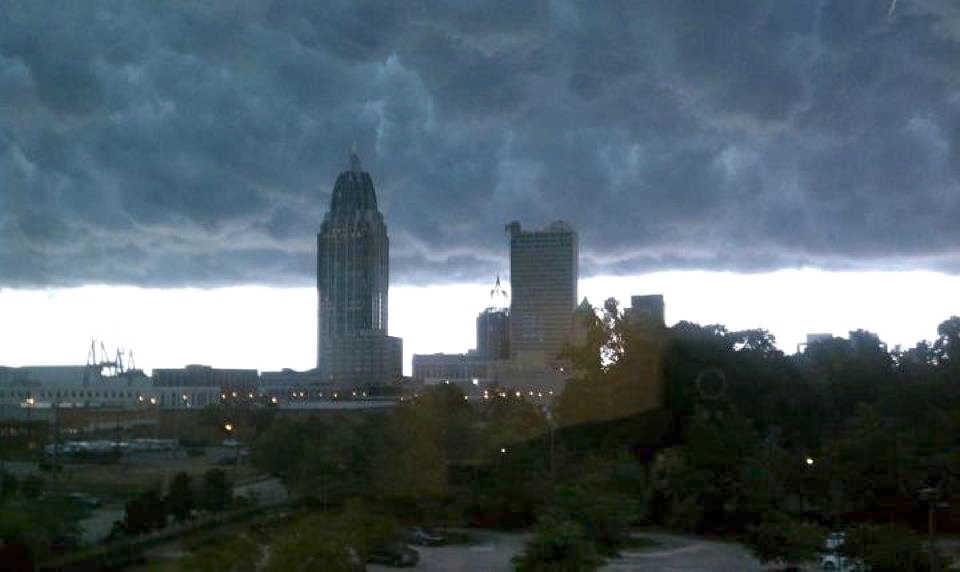
This photo is of Mammatus clouds over the Mobile, Alabama skyline last year. Over the next few days, we may see more of these.