Coastal Impact – Alberto

Tropical Storm Alberto is moving slowly into the Gulf of Mexico.  Our most recent model runs have Alberto entering the GoM on Saturday and experiencing less shear.  The system could and probably will become more organized over the open waters of the gulf.   We expect Tropical Storm warnings to be issued by Saturday evening, and possibly a Hurricane Watch for our coastal region.

Image


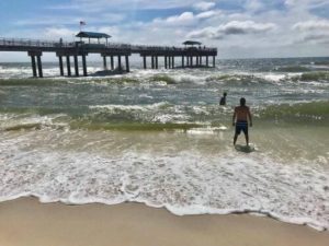
Current Conditions at Orange Beach

The Gulf waters and churning at Cotton Bayou in Orange Beach.  Conditions are expected to deteriorate as early as Saturday afternoon.

The surf will continue to rise throughout Saturday night and into Sunday.

Very Dangerous Situation

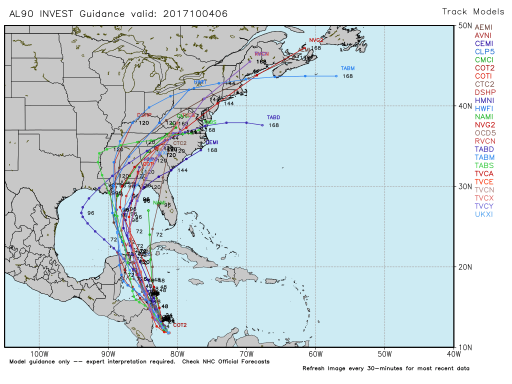
The westwardly track that we have been monitoring continues.  We have been looking at the High and the Low (Cold Front), coming across the south eastern regions.  In short, our models trend westward.  We do expect a shift north but perhaps not as soon as popular media depicts.

TAKE ACTION NOW  

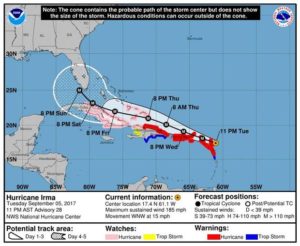
We can not stress how dangerous this storm system is.  With sustained 185 mile per hour winds, and shoving up to 20 feet of water over the coast.  We can add inland storms, lightning, tornados.  If you are in a low lying or coastal area...  LEAVE NOW.  ALL OTHERS, TAKE STEPS TO SECURE  YOURSELVES AND YOUR PROPERTY.  Houses can be re-built. 

Along the Northern Gulf Coast, there could be impacts as well.

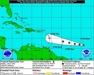
Potential Cyclone Three

This should become Tropical Storm Cindy over the next several hours. The wind field is around 220 miles from the center of circulation and should remain just at or below Tropical Storm strength. Estimated area of impact will be in western Louisiana/Eastern Texas. This system has a wide reach and will, to varying degrees, impact the entire northern Gulf of Mexico areas. Coastal flooding, high surf and winds, and heavy rain can be expected. As the system moves closer, flash flooding from rainfall remains a very real threat.

Please observe your local, state, and NHC advisories, and take appropriate action for your area.

Possible Sub-tropical Storm Ana

An area of low pressure off the eastern seaboard near Georgia and the Carolinas is on the verge of becoming the seasons first named storm.  While acquiring more tropical characteristics before landfall most likely in the Carolinas, if Ana forms, she is not expected to reach hurricane status at this time.   Those along the eastern Seaboard should monitor the situation and could expect to see tropical storm conditions in the next few days.  This system will not affect our primary area, the Northern Coast of the Gulf of Mexico.

+++++++++++++++++++++++++++++++++++++++++++++++++

Please review seasonal preparedness information one post down.

Area of Interest has gotten more “interesting”

Invest 96L is showing signs of life.  The dry air that it had been battling is all but gone.  Our models suggest at a Gulf of Mexico solution, but at this time, it is too early to tell.  As the system treks over the Caribbean and Hispaniola, it could deteriorate rapidly  amid the mountainous regions of the islands.  Alternatively, it could miss the brunt of the islands and slip into the GoM and have plenty of running room.

Having said that, this system still faces some challenges for development in terms of moderate wind shear and a packet of dry air remains just north of the system.  Chances are, we will see a Low pressure system in the Gulf of Mexico by next week.

Forecast for next week.


All is calm

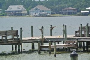
dock

The Atlantic Basin remains quiet.  The NHC is monitoring the possibility of a “spin up” much like a couple of weeks ago.  Such a scenario would impact the eastern seaboard, and pose no threat to the Gulf of Mexico.  We remain in our typical July pattern:  Afternoon thundershowers,  and temperatures in the high 80’s to low 90’s.

Our tracking is looking towards August as some of our modeling solutions suggest less “SAL” interference of the coast of Africa and more stable conditions across the warming  waters of the Atlantic.

The midwest and most parts as far south as North Carolina may see lows under and up to the mid 40’s over the course of the week.  An Upper Level Low system will bring in some cooler air to many parts of the Eastern U.S.  Severe weather outbreaks are not anticipated.  Simply expect a few chilly mornings.

2014 May see El Nino Effect

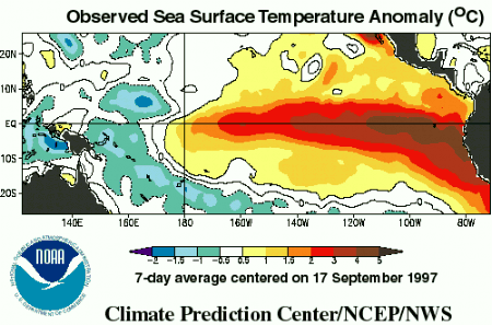
Warmer than normal Pacific Ocean

The NWS and NOAA are predicting a greater than 50% chance of an El Nino effect, which means warmer water temperatures in the Pacific Ocean and cooler than normal water temperatures in the Atlantic Ocean.  During El Nino, we typically have fewer tropical systems in the Atlantic and in the Gulf of Mexico.  In 1992, there was an El Nino event, and only 7 storms formed, however, one of those seven was Hurricane Andrew.