ALERT !! Named Storm Karen 2013

Tropical Storm Karen is the strengthening storm that we mentioned earlier this week in another post. This storm is being treated as a potential worst case scenario by many forecasters due to the fairly short time period left before landfall. Therefore, we are advising all Gulf Coast residents from the Louisiana – Texas border over to Apalachicola, Florida, to have your storm preparations in order immediately. Due to rapidly changing conditions, this storm will most likely reach Hurricane Category 1 status late Friday but may weaken some before landfall. However, a strong Tropical Storm can inflict wind, water and storm surge damage. All persons in the Gulf Coast area mentioned should monitor local official advisories and take all necessary precautions as this storm moves to the north.

For up to the minute official advisories and information, please visit the NHC website in Miami:

http://www.nhc.noaa.gov/

=============================================

“THIS IS NOT AN OFFICIAL ADVISORY. These updates and advisories are based upon information from our own computer models, NOAA, Local Weather Data Centers, deep water Buoy Data, and other publicly available sources. FOR THE SAFETY OF YOUR PROPERTY AND PERSON, please refer to your Local, State, and Federal Authority updates for Official Advisories and Orders. For up to the minute advisories and official updates, it is essential that you monitor your local Emergency Government, NOAA and Local Media Broadcasts. Please do not make personal safety decisions based upon information presented here in this Unofficial Advisory.”

Tropical Storm Research Center, Gulf Shores, Alabama.

http://www.wootaah.blogspot.com/

============================================
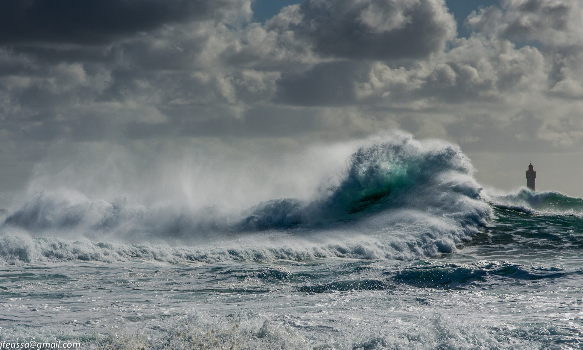
Named Storm Jerry 2013

Tropical Storm Jerry formed in the central Atlantic from a tropical depression earlier today. This storm will move to the north and then to the northeast, well away from any US coastal areas. For that reason, this will be our only mention of Tropical Storm Jerry.

However, we are carefully watching an area of low pressure and storminess in the central Caribbean. There are some indications of movement into the southeastern Gulf of Mexico in a few days with slow development, but a strong dip in the Jet Stream will be interacting with this potential storm to keep it relatively weak. Persons along the entire Gulf Coast should monitor local weather advisories starting Thursday, October 03, and running through October 09. If this Caribbean storm warrants additional comments, it will be done in a newly started post.

For up to the minute official advisories and information, please visit the NHC website in Miami:

http://www.nhc.noaa.gov/

=============================================

“THIS IS NOT AN OFFICIAL ADVISORY. These updates and advisories are based upon information from our own computer models, NOAA, Local Weather Data Centers, deep water Buoy Data, and other publicly available sources. FOR THE SAFETY OF YOUR PROPERTY AND PERSON, please refer to your Local, State, and Federal Authority updates for Official Advisories and Orders. For up to the minute advisories and official updates, it is essential that you monitor your local Emergency Government, NOAA and Local Media Broadcasts. Please do not make personal safety decisions based upon information presented here in this Unofficial Advisory.”

Tropical Storm Research Center, Gulf Shores, Alabama.

http://www.wootaah.blogspot.com/

============================================

Named Storm Ingrid – 2013

The National Hurricane Center has named a storm in the southwestern Gulf of Mexico as Ingrid. Since this storm will not be directly affecting the coastal US as a Tropical Storm and is already weakening, this is our only mention of Ingrid.

For up to the minute official advisories and information, please visit the NHC website in Miami:

http://www.nhc.noaa.gov/

=============================================

“THIS IS NOT AN OFFICIAL ADVISORY. These updates and advisories are based upon information from our own computer models, NOAA, Local Weather Data Centers, deep water Buoy Data, and other publicly available sources. FOR THE SAFETY OF YOUR PROPERTY AND PERSON, please refer to your Local, State, and Federal Authority updates for Official Advisories and Orders. For up to the minute advisories and official updates, it is essential that you monitor your local Emergency Government, NOAA and Local Media Broadcasts. Please do not make personal safety decisions based upon information presented here in this Unofficial Advisory.”

Tropical Storm Research Center, Gulf Shores, Alabama.

http://www.wootaah.blogspot.com/

============================================

Named Storm Humberto 2013


Tropical Storm Humberto formed off the west African coast from a tropical depression. This storm will be in a favorable environment for some development over the next 48 hours and may make Hurricane status. However, with it’s projected northerly track, this storm will remain in the eastern Atlantic and will dissipate slowly as it encounters upper level wind shear and dry air.
Unless this storm survives the shear and starts to move westerly, this will be our only mention of named storm Humberto.
For up to the minute official advisories and information, please visit the NHC website in Miami:

http://www.nhc.noaa.gov/

=============================================

“THIS IS NOT AN OFFICIAL ADVISORY. These updates and advisories are based upon information from our own computer models, NOAA, Local Weather Data Centers, deep water Buoy Data, and other publicly available sources. FOR THE SAFETY OF YOUR PROPERTY AND PERSON, please refer to your Local, State, and Federal Authority updates for Official Advisories and Orders. For up to the minute advisories and official updates, it is essential that you monitor your local Emergency Government, NOAA and Local Media Broadcasts. Please do not make personal safety decisions based upon information presented here in this Unofficial Advisory.”

Tropical Storm Research Center, Gulf Shores, Alabama.

http://www.wootaah.blogspot.com/

============================================

Named Storm Gabrielle – 2013

Named Storm Gabrielle 2013

Tropical Storm Gabrielle formed in the eastern Caribbean from a tropical depression overnight. This is a minimal Tropical Storm and as it passes through the straits between Puerto Rico and the Dominican Republic, it will produce heavy rains in the area and some low lands flooding. The storm will then be moved to the northeast by the Jet Stream and Bermuda will feel it’s effects by Tuesday, September 10th. Since this storm will not be affecting the coastal US, this will be our only mention of Tropical Storm Gabrielle.

For up to the minute official advisories and information, please visit the NHC website in Miami:

http://www.nhc.noaa.gov/

=============================================

“THIS IS NOT AN OFFICIAL ADVISORY. These updates and advisories are based upon information from our own computer models, NOAA, Local Weather Data Centers, deep water Buoy Data, and other publicly available sources. FOR THE SAFETY OF YOUR PROPERTY AND PERSON, please refer to your Local, State, and Federal Authority updates for Official Advisories and Orders. For up to the minute advisories and official updates, it is essential that you monitor your local Emergency Government, NOAA and Local Media Broadcasts. Please do not make personal safety decisions based upon information presented here in this Unofficial Advisory.”

Tropical Storm Research Center, Gulf Shores, Alabama.

http://www.wootaah.blogspot.com/

============================================

Named Storm Fernand – 2013

Tropical Storm Fernand formed in the southwestern Gulf of Mexico from a tropical depression late on August 25th. This storm is already making landfall in east central Mexico as a weak tropical storm and will be downgraded later this morning. Since this storm poses no threat to US coastal areas, this will be our only mention of Tropical Storm Fernand.

For up to the minute official advisories and information, please visit the NHC website in Miami:

http://www.nhc.noaa.gov/

=============================================

“THIS IS NOT AN OFFICIAL ADVISORY. These updates and advisories are based upon information from our own computer models, NOAA, Local Weather Data Centers, deep water Buoy Data, and other publicly available sources. FOR THE SAFETY OF YOUR PROPERTY AND PERSON, please refer to your Local, State, and Federal Authority updates for Official Advisories and Orders. For up to the minute advisories and official updates, it is essential that you monitor your local Emergency Government, NOAA and Local Media Broadcasts. Please do not make personal safety decisions based upon information presented here in this Unofficial Advisory.”

Tropical Storm Research Center, Gulf Shores, Alabama.

http://www.wootaah.blogspot.com

============================================

Special Advisory: EAST Pacific Named Storm IVO

East Pacific Tropical Storm Ivo is being monitored even though TSRC does not normally track Pacific storms.  Due to a shift in the upper level steering currents, Tropical Storm IVO has a relatively high chance of coming ashore in southern California near San Diego sometime Wednesday, August 28 or Thursday, August 29.  The storm may then affect several Southwestern States with heavy rains, flash flooding, frequent lightning, mud slides and very gusty winds.  Persons in southern California, Nevada, and Arizona should monitor the track of this storm and listen to your local Emergency Government and National Weather Service advisories early this coming week.

For up to the minute official advisories and information, please visit the NHC website in Miami:

http://www.nhc.noaa.gov/

=============================================

“THIS IS NOT AN OFFICIAL ADVISORY. These updates and advisories are based upon information from our own computer models, NOAA, Local Weather Data Centers, deep water Buoy Data, and other publicly available sources. FOR THE SAFETY OF YOUR PROPERTY AND PERSON, please refer to your Local, State, and Federal Authority updates for Official Advisories and Orders. For up to the minute advisories and official updates, it is essential that you monitor your local Emergency Government, NOAA and Local Media Broadcasts. Please do not make personal safety decisions based upon information presented here in this Unofficial Advisory.”

Tropical Storm Research Center, Gulf Shores, Alabama.

http://www.wootaah.blogspot.com

============================================

Named Storm Erin – 2013

Tropical Storm Erin formed off the west African coast from a tropical wave and depression. The environment that this storm will be passing through will not allow much development through Tuesday, August 20th. There are features that will be in place by the middle of next week that could change this scenario. However, unless this storm shows significant intensification potential or a track change, this will be our only mention of Tropical Storm Erin.

We are watching an upper level low pressure area [ Invest 92-L ] that will be in the far southeastern Gulf of Mexico on Friday afternoon, August 16. Current computer modeling is imprecise because there is no well-defined center of low pressure rotation, but as this upper level low gets over the warm Gulf waters, we will be watching carefully and post in a separate thread accordingly if necessary.

For up to the minute official advisories and information, please visit the NHC website in Miami:

http://www.nhc.noaa.gov/

=============================================

“THIS IS NOT AN OFFICIAL ADVISORY. These updates and advisories are based upon information from our own computer models, NOAA, Local Weather Data Centers, deep water Buoy Data, and other publicly available sources. FOR THE SAFETY OF YOUR PROPERTY AND PERSON, please refer to your Local, State, and Federal Authority updates for Official Advisories and Orders. For up to the minute advisories and official updates, it is essential that you monitor your local Emergency Government, NOAA and Local Media Broadcasts. Please do not make personal safety decisions based upon information presented here in this Unofficial Advisory.”

Tropical Storm Research Center, Gulf Shores, Alabama.

http://www.wootaah.blogspot.com

============================================

Named Storm Dorian – 2013

Tropical Storm Dorian formed today out of a tropical depression and is currently 550 miles west of the Cape Verde Islands near the African Coast and is moving generally westward at 20 miles per hour. Current tracking is indicating that the storm will be over unfavorably cool waters of the Atlantic until Monday, July 29 and at that time it will be near Puerto Rico. There are signs that this storm may travel just north of Hispaniola around Tuesday, July 30 and may gain strength. We are tracking this storm and if computer modeling starts to indicate a US involvement, we will update this information.

Use this interactive link to check all conditions in your own area:

http://www.nws.noaa.gov/largemap.php

For up to the minute official advisories and information, please visit the NHC website in Miami:

http://www.nhc.noaa.gov/

=============================================

“THIS IS NOT AN OFFICIAL ADVISORY. These updates and advisories are based upon information from our own computer models, NOAA, Local Weather Data Centers, deep water Buoy Data, and other publicly available sources. FOR THE SAFETY OF YOUR PROPERTY AND PERSON, please refer to your Local, State, and Federal Authority updates for Official Advisories and Orders. For up to the minute advisories and official updates, it is essential that you monitor your local Emergency Government, NOAA and Local Media Broadcasts. Please do not make personal safety decisions based upon information presented here in this Unofficial Advisory.”

Tropical Storm Research Center, Gulf Shores, Alabama.

http://www.wootaah.blogspot.com

============================================

Named Storm Chantal – 2013

We are tracking Tropical Storm Chantal.  It is currently in the east central Atlantic nearing the Windward Islands and is moving west northwest at 25 MPH.
 
        Due to the rapid forward movement, this storm will not have much time to intensify into hurricane strength, but it will bring heavy rains, strong tropical force winds , high surf and rip currents to the Dominican Republic and Haiti as well as eastern Cuba by mid to late week and into the area near the Bahamas and south Florida by Saturday. Early computer modeling is suggesting that this storm will track up the Atlantic side of Florida as a slightly weakened storm, but it will bring heavy rain and gusty winds to most of eastern Florida Saturday, July 13 into Monday, July15. Tracking models are not precise past Saturday, so if any changes take place to the preliminary tracking, new information will be provided.
 
        Use this interactive link to check all conditions in your own area:
http://www.nws.noaa.gov/largemap.php

         For up to the minute official advisories and information, please visit the NHC website in Miami:
http://www.nhc.noaa.gov/

=============================================

“THIS IS NOT AN OFFICIAL ADVISORY. These updates and advisories are based upon information from our own computer models, NOAA, Local Weather Data Centers, deep water Buoy Data, and other publicly available sources. FOR THE SAFETY OF YOUR PROPERTY AND PERSON, please refer to your Local, State, and Federal Authority updates for Official Advisories and Orders. For up to the minute advisories and official updates, it is essential that you monitor your local Emergency Government, NOAA and Local Media Broadcasts. Please do not make personal safety decisions based upon information presented here in this Unofficial Advisory.”

Tropical Storm Research Center, Gulf Shores, Alabama.
http://www.wootaah.blogspot.com

============================================