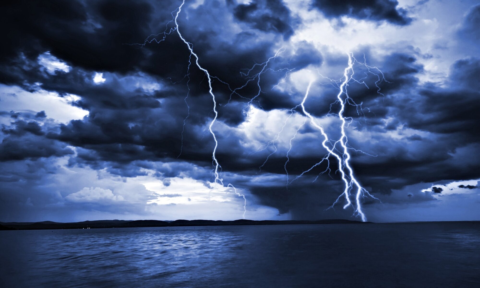
A moderate low pressure area, currently off the Washington State and Oregon coast, will be moving across the Rocky Mountains this weekend and will start to draw energy from Gulf of Mexico moisture. The wind patterns aloft and at the surface will most likely create conditions where convection (atmospheric lifting) will take place and with cold air to the north of the low and hot, humid air to the south, significant thunderstorm activitiy may form in the central Plains States as well as the Midwest early this week and extend into next weekend. While it is too early to predict severity, the computer modeling is showing an increasing potential this coming week for significant thunderstorm activity and the possibility of more tornadoes in some of the same central plains areas affected last week.
If you have interests in these areas, please watch your local media and the National Weather Service for official advisories and updates. Use this link for details on INLAND weather issues for the United States:
http://www.nws.noaa.gov/largemap.php
=============================================
“THIS IS NOT AN OFFICIAL ADVISORY. These updates and advisories are based upon information from our own computer models, NOAA, Local Weather Data Centers, deep water Buoy Data, and other publicly available sources. FOR THE SAFETY OF YOUR PROPERTY AND PERSON, please refer to your Local, State, and Federal Authority updates for Official Advisories and Orders. For up to the minute advisories and official updates, it is essential that you monitor your local Emergency Government, NOAA and Local Media Broadcasts. Please do not make personal safety decisions based upon information presented here in this Unofficial Advisory.”
Tropical Storm Research Center, Gulf Shores, Alabama.
TSRC Link >>> www.gulfstorm.net
============================================
