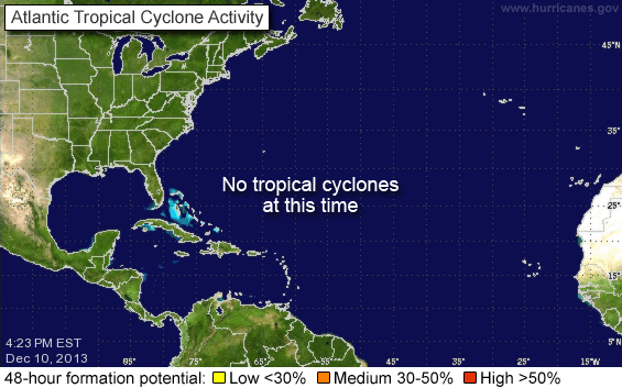
Named Storm – Omar
Tropical Storm Omar developed over the past several days from a low pressure area in the eastern Caribbean south of Jamaica, Haiti and Puerto Rico. This storm is being steered by upper level currents that will place it in a northeasterly direction by October 8-10. There is a good chance that this storm will make Hurricane status but it will be an Atlantic Ocean storm and will not affect any significant land mass for at least 7 to 10 days. It will be moving toward Europe in approximately 10 days.
Unless this storm has an unforeseen direction change, this will be our only Named Storm Omar posting.
Please use the first link below for Tropical System information and the second link below for active watches, warnings and data.
http://www.weather.gov/largemap.php
==================================================
“THIS IS NOT AN OFFICIAL ADVISORY. These updates and advisories are based upon information from our own computer models, NOAA, Local Weather Data Centers, deep water Buoy Data, and other publicly available sources. FOR THE SAFETY OF YOUR PROPERTY AND PERSON, please refer to your Local, State, and Federal Authority updates for Official Advisories and Orders. For up to the minute advisories and official updates, it is essential that you monitor your local Emergency Government, NOAA and Local Media Broadcasts. Please do not make personal safety decisions based upon information presented here in this Unofficial Advisory.”
==================================================
Tropical Storm NANA
Tropical Storm Marco
Tropical Storm Marco intensified from a low pressure area in the southern Gulf of Mexico. It is a very compact storm but may intensify to Catagory 1 Hurricane strength before landfall in eastern coastal Mexico on Tuesday. Due to the close proximity of this storm to the coast of Mexico and imminent landfall within 12 to 24 hours, this will be our only posting for this storm. It will have no involvement on US Coastal Areas and limited involvement on the coast of Mexico due to it’s small size.
Please use the first link below for Tropical System information and the second link below for active watches, warnings and data.
http://www.nhc.noaa.gov/
http://www.weather.gov/largemap.php
================================================== =======
“THIS IS NOT AN OFFICIAL ADVISORY. These updates and advisories are based upon information from our own computer models, NOAA, Local Weather Data Centers, deep water Buoy Data, and other publicly available sources. FOR THE SAFETY OF YOUR PROPERTY AND PERSON, please refer to your Local, State, and Federal Authority updates for Official Advisories and Orders. For up to the minute advisories and official updates, it is essential that you monitor your local Emergency Government, NOAA and Local Media Broadcasts. Please do not make personal safety decisions based upon information presented here in this Unofficial Advisory.”
================================================== =======

