Tropical Storm Florence formed today, and while she is not the best looking tropical system as she is encountering shear, most models have her forecast to become a Hurricane by Friday.
It is way too early to start guessing at landfall, however, based on what we have right now, if she were to slow down to miss the trough that would carry her out to sea, there could be an issue for anywhere along the Eastern Seaboard.
Invest 91L is creeping up behind her, and it’s interaction with her as mentioned on www.wunderground.com could throw the long range models into even more of a tail spin.
There are other waves in the Atlantic, and the one near the Lesser Antilles and the wave coming off the coast of Africa could both have the potential to form. As indicated on various pro and amatuer tropical forums, the season is most definately wide-eyed and bushy-tailed.
At this early point, despite the wildly unpredictable storms so far this season, my money remains on the products from the NHC.
Of note, I noticed that AccuWeather provided a rather scathing review of the NHC’s “handling” of Ernesto. While I will not dive into it as much as I would like to, I will say that I wish the “chains” could be taken off the fine forecasters at the NHC and allow them to respond in kind to some of the rediculous products AccuWeather has spewed out over the past year or so. (One example was when AccuWeather listed their “landfall estimates” for this season, before the season began. Even rank amatuers such as myself are not that brash and/or uninformed.) You can count this paragraph as resounding and glowing support for the tremendous efforts of the NHC and all they do for us.
I’ll update this blog tomorrow as I get more information.
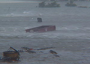
 Note 2: One reader made what I thought was an execellent suggestion, so I am putting it out there for you readers: If you have any storm stories or tidbits you would like to share in an entry along the lines of “Surviving the Storm”, email them to my along with how you would like to be listed (to give you credit for the entry) and I’ll put up a special section in the next few days or week. Or if you have one or two good pictures such as the following, send it to me.
![]()


