New England Advisory for November 05 to November 09, 2012.
Our software is seeing a new Atlantic storm, usually called a “Nor’easter”, that will be affecting some of the northern coastal regions that were hit hard by Superstorm ‘Sandy’. While we usually do not comment on non-tropical origin storms, we feel that we must mention this developing system.
Superstorm ‘Sandy’ has left over 5 million persons without electrical power as of Thursday, November 01. As this new storm starts to affect the same areas, especially the northern areas, those persons still without power will have difficulty staying warm. Also, as we see cold temperatures behind this storm moving in, persons without power to warm buildings can have water pipes break with overnight temperatures at 31 degrees F or lower. We are cautioning all persons who DO have power to monitor the National Weather Service advisories and try your best to get this information to any friends or colleagues that do NOT have power any way that you can. Persons in the blackout areas have very few ways to keep track of things such as additioanal storms and how they may be affected in the next week or so. We are hoping that local law enforcement and fire departments will use their mobile PA systems in blacked out neighborhoods to announce what is heading into these areas.
For up to the minute official advisories and information, please visit the NHC website in Miami:
http://www.nhc.noaa.gov/
We are also providing an interactive Watch and Warning web link for persons who wish to get details on localized conditions:
http://www.nws.noaa.gov/largemap.php
=============================================
“THIS IS NOT AN OFFICIAL ADVISORY. These updates and advisories are based upon information from our own computer models, NOAA, Local Weather Data Centers, deep water Buoy Data, and other publicly available sources. FOR THE SAFETY OF YOUR PROPERTY AND PERSON, please refer to your Local, State, and Federal Authority updates for Official Advisories and Orders. For up to the minute advisories and official updates, it is essential that you monitor your local Emergency Government, NOAA and Local Media Broadcasts. Please do not make personal safety decisions based upon information presented here in this Unofficial Advisory.”
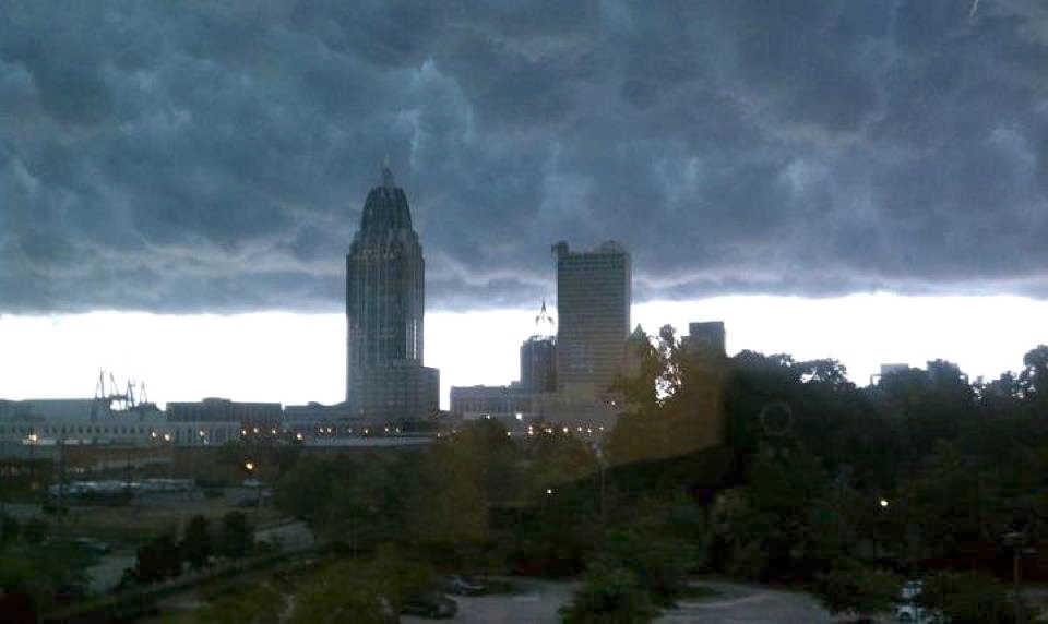
Tropical Storm Research Center, Gulf Shores, Alabama –
http://www.wootaah.blogspot.com
============================================