Area of Interest has gotten more “interesting”

Invest 96L is showing signs of life.  The dry air that it had been battling is all but gone.  Our models suggest at a Gulf of Mexico solution, but at this time, it is too early to tell.  As the system treks over the Caribbean and Hispaniola, it could deteriorate rapidly  amid the mountainous regions of the islands.  Alternatively, it could miss the brunt of the islands and slip into the GoM and have plenty of running room.

Having said that, this system still faces some challenges for development in terms of moderate wind shear and a packet of dry air remains just north of the system.  Chances are, we will see a Low pressure system in the Gulf of Mexico by next week.

Forecast for next week.


Watching an Atlantic Low Pressure Area August 15-18, 2014

We have been watching an Atlantic low pressure area for a few days. It is currently located mid way between the African West Coast of Senegal and the Lesser Antilies. This Atlantic low may be in a more favorable environment for development later this week and if it becomes a Tropical Depression or a named storm, we will start a new thread with details as needed.

Tropical Storm Bertha – Final Advisory

Tropical Storm Bertha Update and final advisory August 03, 2014.

Tropical Storm Bertha has been very predictable. It is entering the area around Bermuda today and will start curving more and more to the northeast over the next few days – away from the US coast. However, persons from coastal Florida to New England can expect higher than normal wave action, tides and rip currents.

Since this storm poses no immediate threat to the US coastline, this will be our final mention of Tropical Storm Bertha – UNLESS an unanticipated westerly movement takes place.

Please use the NHC link below for official advisories:

http://www.nhc.noaa.gov/

======================================================

“These are not official advisories. These updates and advisories are based upon information from our own computer models, NOAA, Local Weather Data Centers, deep water Buoy Data, and other publicly available sources. FOR THE SAFETY OF YOUR PROPERTY AND PERSON, please refer to your Local, State, and Federal Authority updates for Official Advisories and Orders. For up to the minute advisories and official updates, it is essential that you monitor your local Emergency Government, NOAA and Local Media Broadcasts. Please do not make personal safety decisions based upon information presented here.”

https://gulfstorm.net

Tropical Storm Research Center, Gulf Shores, Alabama.

====================================================

Named Storm Bertha – 2014

Tropical Storm Bertha formed out of an area of low pressure (TD2) approximately 300 miles east of the Windward islands early this morning. This storm will be tracking into the Caribbbean and very close to Puerto Rico this weekend. It will then start a northerly movement taking it near the Bahamas by early next week. Because of unfavorable conditions aloft on it’s current track, this storm will most likely stay as a Tropical Storm rather than becoming a Hurricane. However, a few of the tracking models are showing a slightly more westerly track close to the southeast Florida coast which could put the storm in a more favorable location for intensification. We will post additional details as needed. Persons from south Florida to North Carolina should monitor the progress of this storm.

Please use the NHC link below for official advisories:

http://www.nhc.noaa.gov/

====================================================

“These are not official advisories. These updates and advisories are based upon information from our own computer models, NOAA, Local Weather Data Centers, deep water Buoy Data, and other publicly available sources. FOR THE SAFETY OF YOUR PROPERTY AND PERSON, please refer to your Local, State, and Federal Authority updates for Official Advisories and Orders. For up to the minute advisories and official updates, it is essential that you monitor your local Emergency Government, NOAA and Local Media Broadcasts. Please do not make personal safety decisions based upon information presented here.”

https://gulfstorm.net

Tropical Storm Research Center, Gulf Shores, Alabama.

====================================================

All is calm

dock

The Atlantic Basin remains quiet.  The NHC is monitoring the possibility of a “spin up” much like a couple of weeks ago.  Such a scenario would impact the eastern seaboard, and pose no threat to the Gulf of Mexico.  We remain in our typical July pattern:  Afternoon thundershowers,  and temperatures in the high 80’s to low 90’s.

Our tracking is looking towards August as some of our modeling solutions suggest less “SAL” interference of the coast of Africa and more stable conditions across the warming  waters of the Atlantic.

The midwest and most parts as far south as North Carolina may see lows under and up to the mid 40’s over the course of the week.  An Upper Level Low system will bring in some cooler air to many parts of the Eastern U.S.  Severe weather outbreaks are not anticipated.  Simply expect a few chilly mornings.

Hurricane Arthur Update 5:45 AM, 04 July 2014

Hurricane Arthur Update 04 July 2014 05:45 AM.

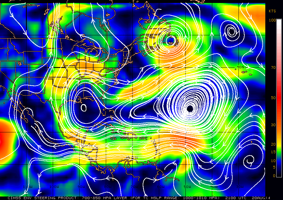
As projected in a previous post, Hurricane Arthur came ashore as a Category 2 storm initially just southeast of Beaufort, North Carolina, around 12:00 AM and crossed over the Outer Banks at approximately 3:30 AM.  The storm is now over open water in the Atlantic again and is moving to the northeast at nearly 25 MPH.  Peak winds are still in excess of 110 MPH but will slowly diminish over the next 24 hours.

Persons from Coastal Virginia to New England can expect heavy rain, gusty winds, high surf, rip currents, beach errosion, some low category tornadoes and areas of lowland flooding over the next 12 to 24 hours.

This will be our final Hurricane Arthur info post. However, please use the information below if you have concerns about conditions for your own area.

Please use the NHC link below for official advisories:

http://www.nhc.noaa.gov/

We are also supplying a link to the NWS US Interactive Storm Map:

http://www.nws.noaa.gov/largemap.php

======================================================================================

“These are not official advisories. These updates and advisories are based upon information from our own computer models, NOAA, Local Weather Data Centers, deep water Buoy Data, and other publicly available sources. FOR THE SAFETY OF YOUR PROPERTY AND PERSON, please refer to your Local, State, and Federal Authority updates for Official Advisories and Orders. For up to the minute advisories and official updates, it is essential that you monitor your local Emergency Government, NOAA and Local Media Broadcasts. Please do not make personal safety decisions based upon information presented here.”

https://gulfstorm.net

Tropical Storm Research Center, Gulf Shores, Alabama.

======================================================================================

Named Storm Arthur Now a Hurricane – (Advisory: July 03, 5:00 AM and 11:30 AM CDT)

‘Arthur’ was upgraded to Hurricane Category 1 status overnight. The storm is strengthening and at this hour, is located off the South Carolina Coast moving northward at just under 10 mph.  Mandatory evacuation orders are in effect for the outer banks and Cape Hatteras, North Carolina. Vacationers and locals are being advised to go inland to I-95 as soon as possible and before ferry service and bridges are forced to close. Persons from the Georgia – South Carolina border up to New England should be alert for changing conditions.

11:00 AM 03 July Update:  The storm track of Hurricane Arthur has moved slightly westward since our 5 AM advisory. The sustained winds are over 90 mph near the eye wall core and this is expected to increase more. Landfall will be in North Carolina in the very early hours of Friday Morning, July 04 just after high tide. This will create a storm surge in excess of 6 feet in places to the north of the storm. Additionally, after landfall and the return of Arthur into the Atlantic, the storm related winds going on-shore from Virginia to New England will be substantial.  Persons from the South – North Carolina border to Maine  should be monitoring local NOAA and media information.

Please use the NHC link below for official advisories:

http://www.nhc.noaa.gov/

We are also supplying a link to the NWS US Interactive Storm Map:

http://www.nws.noaa.gov/largemap.php

============================================================

“These are not official advisories. These updates and advisories are based upon information from our own computer models, NOAA, Local Weather Data Centers, deep water Buoy Data, and other publicly available sources. FOR THE SAFETY OF YOUR PROPERTY AND PERSON, please refer to your Local, State, and Federal Authority updates for Official Advisories and Orders. For up to the minute advisories and official updates, it is essential that you monitor your local Emergency Government, NOAA and Local Media Broadcasts. Please do not make personal safety decisions based upon information presented here.”

https://gulfstorm.net/

Tropical Storm Research Center, Gulf Shores, Alabama.

===========================================================

Named Storm Arthur Update – 4:45 PM 01 July 2014

As anticipated, the National Hurricane Center upgraded Tropical Depression # 1 to Tropical Storm Status. This storm is over relatively warm water near the coastal Gulf Stream and will intensify to high Tropical Storm force or Hurricane Category 1 within 12 to 36 hours. The storm track will be just off the east coast of the US extending from northeastern Florida to New England over the next 3 to 7 days.

Persons in coastal areas from Northeastern Florida to coastal Maine should be watching local media broadcasts for official information. However, many areas along the east coast can expect high surf, rip currents, heavy rain with lowlands flooding, some tornadoes, gusty winds and some beach errosion from a low to moderate storm surge..

Please use the NHC link below for official advisories:

http://www.nhc.noaa.gov/

We are also supplying a link to the NWS US Interactive Storm Map:

http://www.nws.noaa.gov/largemap.php

============================================================

“These are not official advisories. These updates and advisories are based upon information from our own computer models, NOAA, Local Weather Data Centers, deep water Buoy Data, and other publicly available sources. FOR THE SAFETY OF YOUR PROPERTY AND PERSON, please refer to your Local, State, and Federal Authority updates for Official Advisories and Orders. For up to the minute advisories and official updates, it is essential that you monitor your local Emergency Government, NOAA and Local Media Broadcasts. Please do not make personal safety decisions based upon information presented here.”

https://gulfstorm.net/

Tropical Storm Research Center, Gulf Shores, Alabama.

===========================================================

First Significant Atlantic Storm – 2014

The National Hurricane Center in Miami has designated Tropical Depression # 1 out of a strong low pressure area off the Florida Coast near Miami. We are anticipating that this will become Named Storm Arthur within the next day.

Computer modeling is showing this storm starting to follow the Eastern Coast of Florida to the north-northeast in a matter of hours. As it does, it will intensify and most likely become the first Hurricane of the 2014 season as it follows the East Coast of the US from Florida up to New England over the next 4 to 7 days. We will post unofficial updates as this storm progresses. Please use the NHC link below for official advisories:

http://www.nhc.noaa.gov/

We are also supplying a link to the NWS US Interactive Storm Map:

http://www.nws.noaa.gov/largemap.php

======================================================================================

“These are not official advisories. These updates and advisories are based upon information from our own computer models, NOAA, Local Weather Data Centers, deep water Buoy Data, and other publicly available sources. FOR THE SAFETY OF YOUR PROPERTY AND PERSON, please refer to your Local, State, and Federal Authority updates for Official Advisories and Orders. For up to the minute advisories and official updates, it is essential that you monitor your local Emergency Government, NOAA and Local Media Broadcasts. Please do not make personal safety decisions based upon information presented here.”

https://gulfstorm.net

Tropical Storm Research Center, Gulf Shores, Alabama.

======================================================================================