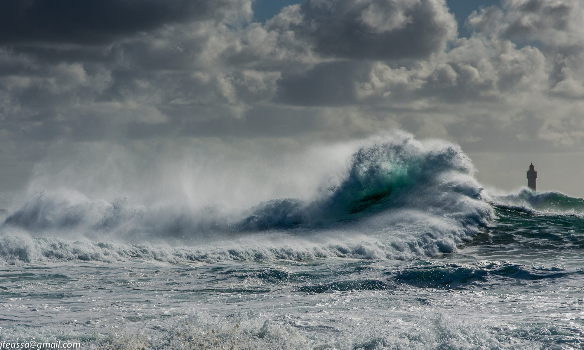
Named Storm Andrea – 2025.
The National Hurricane Center named a low pressure area in the Central Atlantic as Tropical Storm Andrea. This area of low pressure only lasted about 20 hours before it degraded, but in keeping with our TSRC policy of at least mentioning all NHC named storms in the Atlantic, Caribbean and Gulf, this will be our only note about Andrea.
For news and official updates, please refer to the National Hurricane Center website –
============================================
“These are not official advisories. These updates and advisories are based upon information from our own computer models, NOAA, Local Weather Data Centers, deep water Buoy Data, and other publicly available sources. FOR THE SAFETY OF YOUR PROPERTY AND PERSON, please refer to your Local, State, and Federal Authority updates for Official Advisories and Orders. For up to the minute advisories and official updates, it is essential that you monitor your local Emergency Government, NOAA and Local Media Broadcasts. Please do not make personal safety decisions based upon information presented here.”
Tropical Storm Research Center, Southern, Alabama.
============================================
