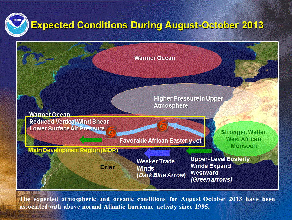
From the current conditions in the Atlantic as well as conditions in the Gulf of Mexico, this season appears ripe for a major storm. The SST’s (Sea Surface Temperatures) are running higher than the past couple of hurricane seasons. Upper level shear is rather low, though we do expect that shear to increase later this summer off of the coast of Africa.
Sadly, the EPAC storm Agatha, while only a tropical storm, claimed over 90 lives in Guatemala. 150 and rising in Central America.
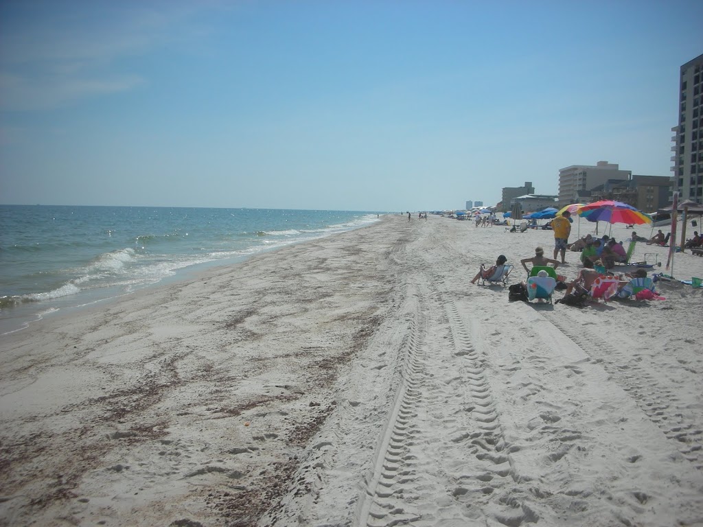
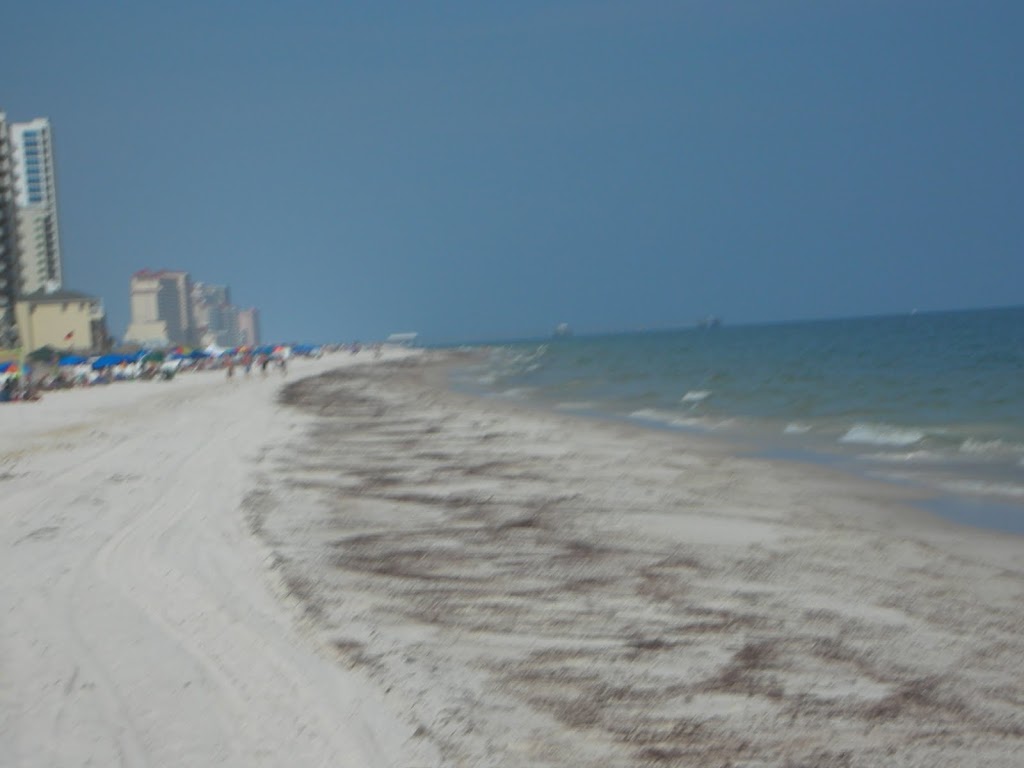
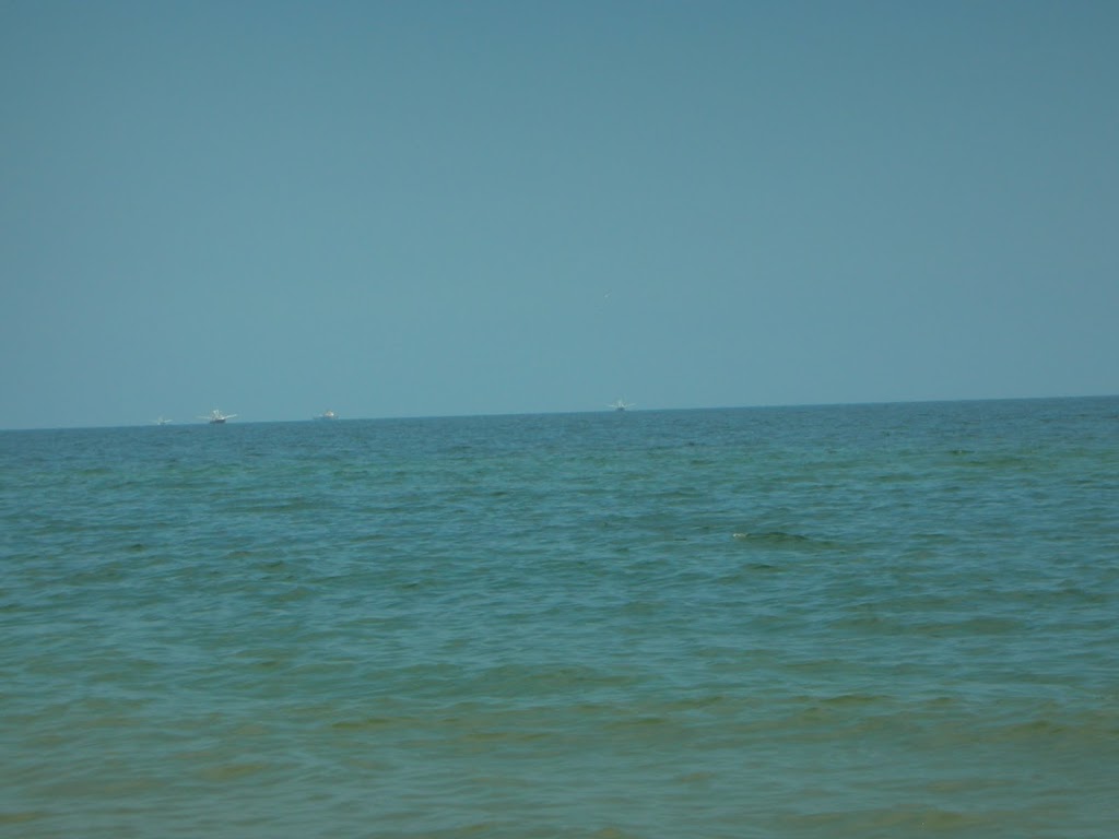
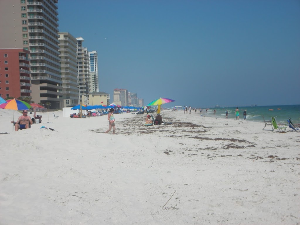
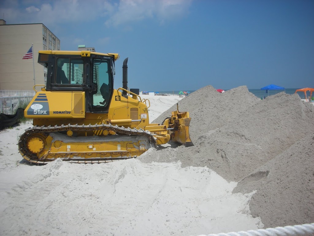
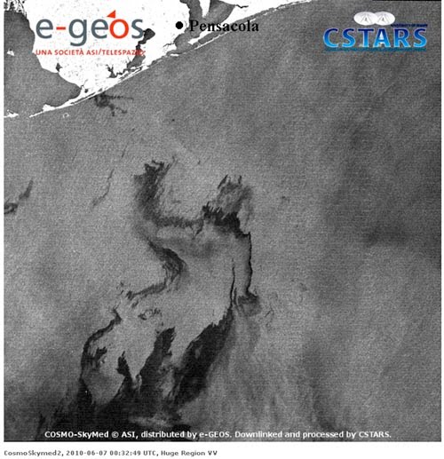
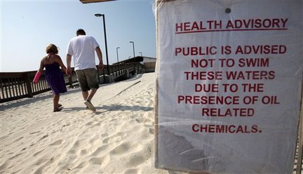
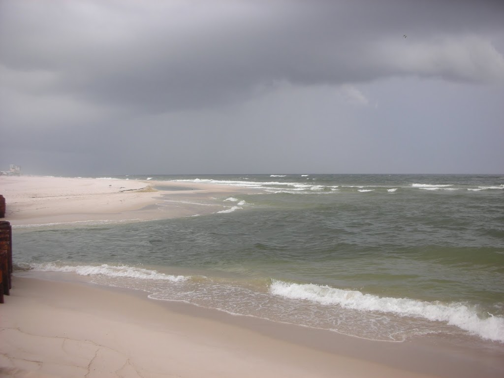
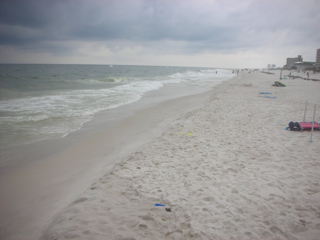
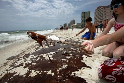
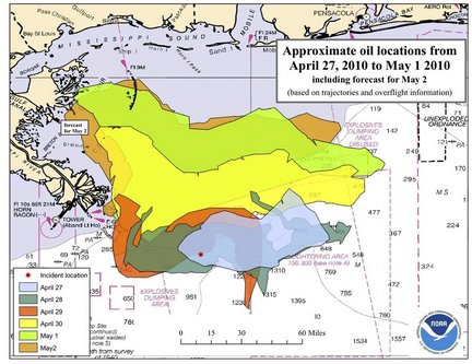
In the Northern areas of the Gulf of Mexico, the interest is on the blown well and the oil slicks and plumes traversing our waters. Dr. Jeff Masters has done some research about the possibilities, but reached the same conclusion we all have. We simply do not know.
What we do know is this: A major hurricane would be very bad. The oil spill is very bad.
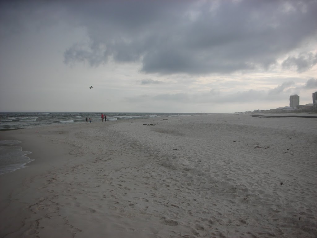
A hurricane of any size will churn the water and hasten the dissipation of the oil. Would that create a doomsday scenario sending oil in the winds 10 miles inland?
I doubt it.
Would that event destroy our marshes?
I think so.
What we do know is this:
1) We have the potential for a strong hurricane season.
2) The plumes COULD affect any land falling storms in the Gulf of Mexico.
3) The oil and sheen could wreak havoc.
4) Based on the long term forecasts, we do have the option of a more aggressive season and we all have a new threat, yet, we should prepare as we do each year.