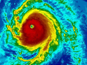
Each year we request that our viewers, who reside in or have interests in Tropical Storm and Hurricane prone areas, use our supplied links to review season preparedness recommendations.
National Hurricane Preparedness Week 2014 runs from May 25th through May 31st. We are providing links to valuable pre season resources to keep your family safe. Please review the information in this link below and check back with us periodically during May for additional information and helpful suggestions.
LINK to NOAA Preparation Site >>>
http://www.nhc.noaa.gov/prepare/
For INLAND storm information year round, please click on the BLOG button, top right of this page and then click on the Interactive Weather Map link that is provided.
Thank you.
TSRC Staff


