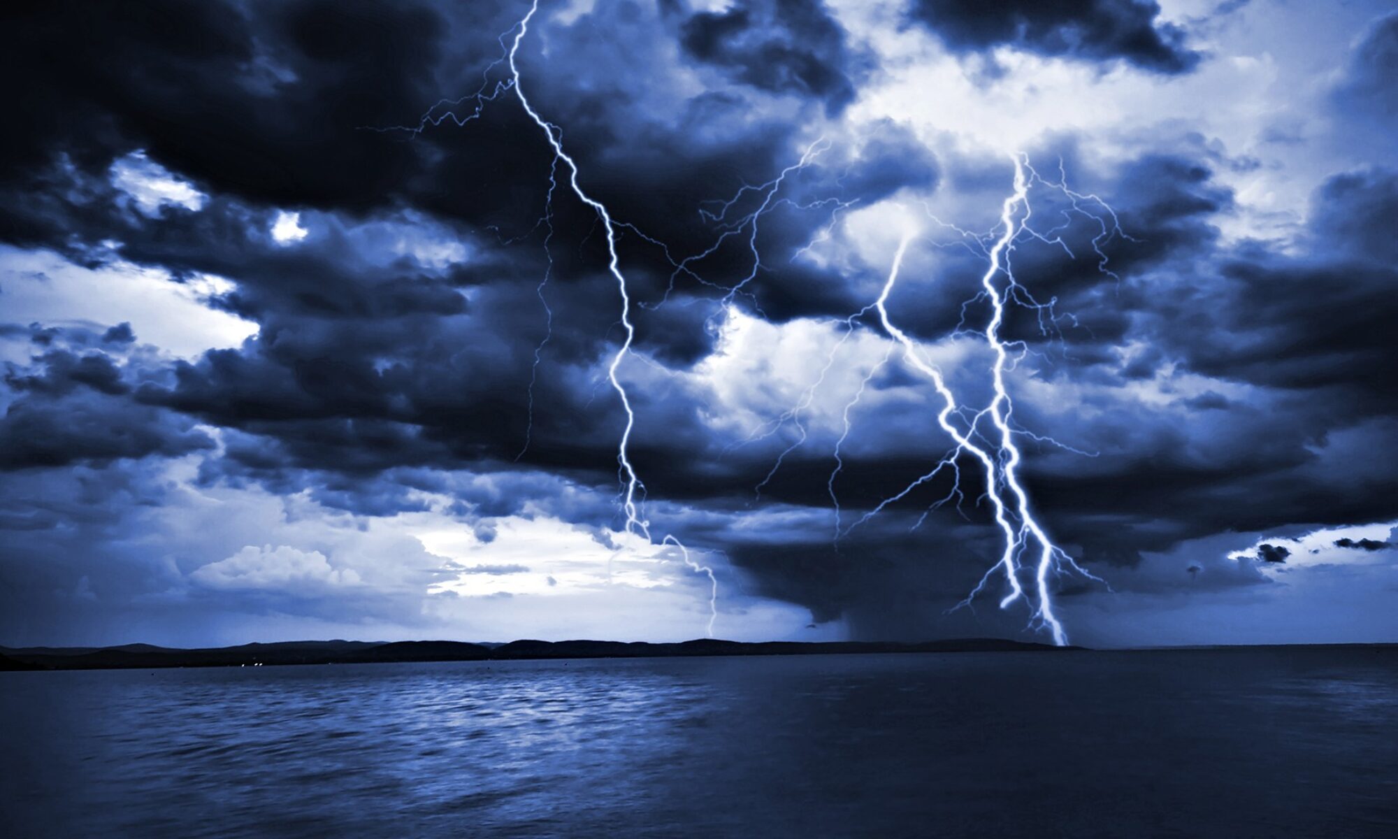
Named Storm Nestor – 2019 formed from Potential Tropical Cyclone # 16, a series of low pressure storms forming in the Gulf of Mexico. This storm area is moving generally northeast and will be affecting the southeastern US. Persons along the Gulf Coast from the Louisiana -Texas border and inland areas through the Carolinas should be monitoring this storm carefully. It has the potential for further development and will cause high winds, heavy rain, storm surge, rip currents, some tornadoes, beach erosion, and lowlands flooding to Gulf Coast areas and to inland areas in the US southeast.
For official watches and warnings, visit the NHC website:
===============================================
“These are not official advisories. These updates and advisories are based upon information from our own computer models, NOAA, Local Weather Data Centers, deep water Buoy Data, and other publicly available sources. FOR THE SAFETY OF YOUR PROPERTY AND PERSON, please refer to your Local, State, and Federal Authority updates for Official Advisories and Orders. For up to the minute advisories and official updates, it is essential that you monitor your local Emergency Government, NOAA and Local Media Broadcasts. Please do not make personal safety decisions based upon information presented here.”
Tropical Storm Research Center, Gulf Shores, Alabama
============================================
