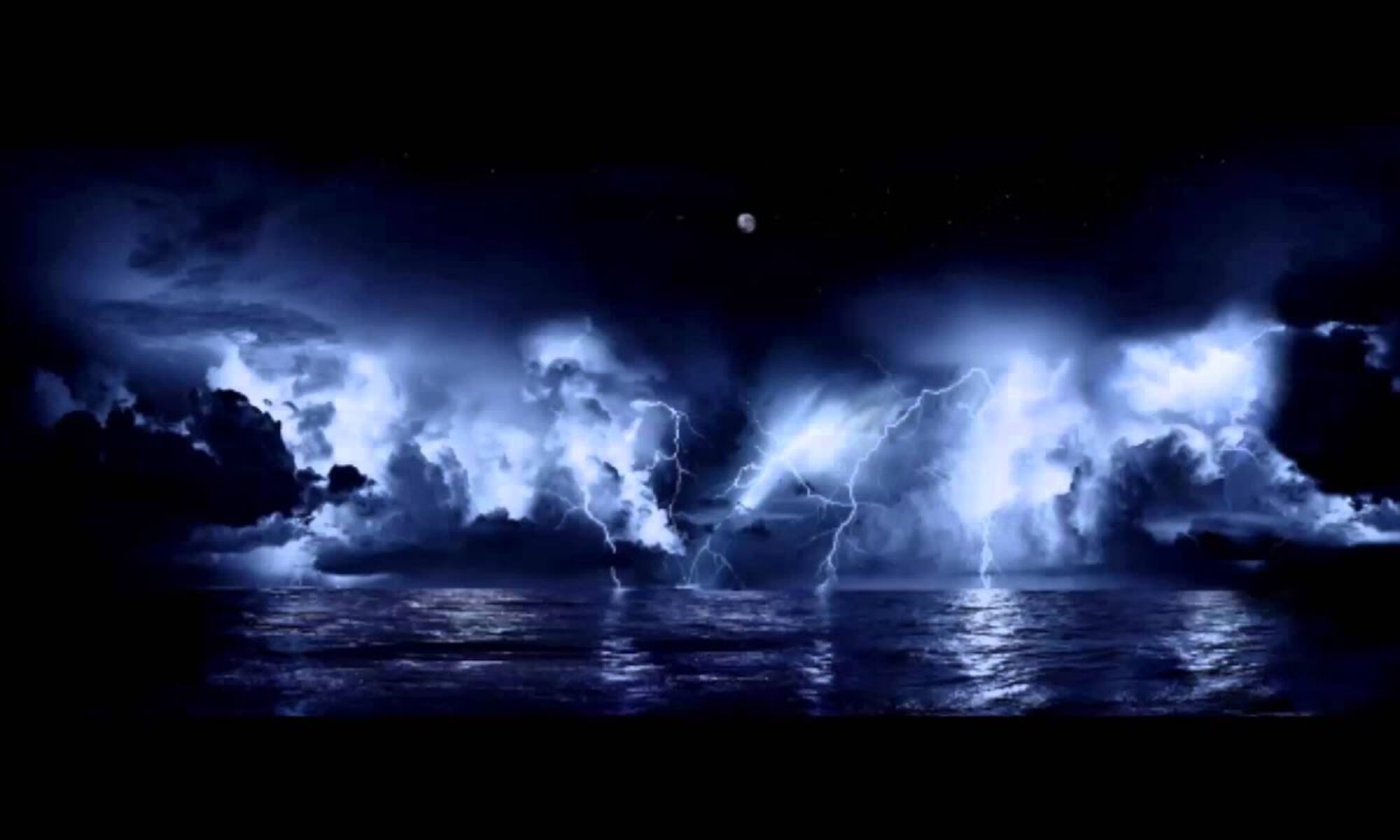
Tropical Storm Hanna developed in the central Gulf of Mexico from a deep low pressure area. This storm will be moving generally westerly fairly rapidly, making landfall along the eastern coastline of Texas this weekend. Persons along the east coast of Texas should be monitoring this storm carefully as well as monitoring local officials and the National Weather Service for advisories for heavy rain, lowland flash flooding, gusty wind, beach erosion severe rip currents and possible tornadoes as far east as northwestern Florida.
ADD ON – July 25, 2020 – Hanna makes Hurricane Category 1 Strength.
Persons from Galveston to Brownsville, Texas, can expect storm surges of 1 to over 5 feet as well as significant wind driven rainfall and flash flooding through the weekend.
Hurricane Hanna – 2020, has caused significant flooding and wind damage in southeast Texas, but has now crossed over into central Mexico.
We are also watching the development of another system taking shape in the central Atlantic and could become a named storm within a few days.
Additional information will be posted as needed IF it becomes Named Storm Isaias – 2020.
Please visit the National Hurricane Center website for official news and advisories.
https://www.nhc.noaa.gov/
===============================================
“These are not official advisories. These updates and advisories are based upon information from our own computer models, NOAA, Local Weather Data Centers, deep water Buoy Data, and other publicly available sources. FOR THE SAFETY OF YOUR PROPERTY AND PERSON, please refer to your Local, State, and Federal Authority updates for Official Advisories and Orders. For up to the minute advisories and official updates, it is essential that you monitor your local Emergency Government, NOAA and Local Media Broadcasts. Please do not make personal safety decisions based upon information presented here.”
https://gulfstorm.net
Tropical Storm Research Center, Gulf Shores, Alabama
============================================

Tropical information for the Coast, by the Coast,