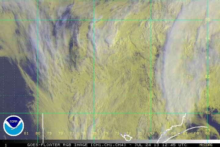
 Irene continues some intensification, however, the ERC (Eyewall Replacement Cycle) took longer than anticipated, and thus, Irene missed an opportunity for a rapid intensification cycle. Irene remains a very large Category 3 storm, and its wind-field will likely be larger than the forecast cone. Storm surge coupled with high tides are affecting Florida, and injuries have been reported.
We will monitor the development of this system. Additionally, the tropics over the next weeks should be very active, and we will provide more information as TD 10 and invest 91L continue their progression across the North Atlantic.
