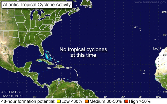
This graphic from the NOAA National Hurricane Center illustrates the threat areas we have been watching. Invests are good candidates with Invest 92L (the are closest to United States interest) showing a strong likelihood for development.
Some questions have been raised at why the predictions have increased the number of storms this season. The answer is that conditions in the Atlantic have become much more favorable for development: low wind shear, warm waters, and a lessening of the Saharan Air Layer (SAL). Additionally, there are no signs of a La Nina event, which would hamper storm formation as well. Over the next 48 hours, these two areas of tropical disturbance should be monitored.
The long range GFDL 12z model run presents the following graphic. The 2pm EDT discussion from the National Hurricane Center is as follows:
-=-=-=-=-
DATA FROM NOAA BUOYS INDICATE THAT A BROAD AREA OF LOW PRESSURE ASSOCIATED WITH A TROPICAL WAVE IS LOCATED ABOUT 550 MILES EAST OFTHE LESSER ANTILLES. CLOUDINESS AND SHOWERS ASSOCIATED WITH THISLOW HAVE CHANGED LITTLE IN ORGANIZATION SINCE THIS MORNING. ENVIRONMENTAL CONDITIONS APPEAR CONDUCIVE FOR A TROPICAL DEPRESSIONTO FORM DURING THE NEXT DAY OR SO AS THE SYSTEM MOVESWEST-NORTHWESTWARD AT 10 TO 15 MPH. AN AIR FORCE RESERVE HURRICANEHUNTER AIRCRAFT IS CURRENTLY ENROUTE TO INVESTIGATE THE AREA.


