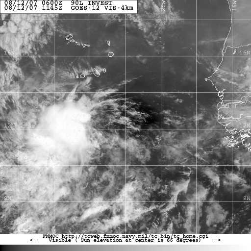
Invest 90L in the Atlantic is expected to become Tropical Depression Number Four later today or tonight. Some models are already calling this TD4. The two most likely events for this storm at this early point are for it to develop into a tropical storm or hurricane (possibly a major hurricane) and it does appear to have the potential to threaten the mainland United States.
The GFS model brings the storm into the Gulf of Mexico, while other models hit at an East Coast strike. There is not much in the way to impede development or the westward motion of the storm. Over the next couple of days we should get a better picture as to the possible track and intensity of this system.
Dr. Jeff Masters anticipates tropical storm/hurricane conditions in the Lesser Antilles as early as Thursday, and he favors the GFS model which brings this system into the Gulf of Mexico. As always, with these long tracking storms, there is a huge margin for error this early into the game.

