
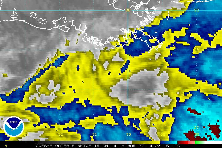
 Hurricane Dean is looking impressive this morning as a solid Catagory One storm. It should continue to intensify and become a Cat 2 system later today.
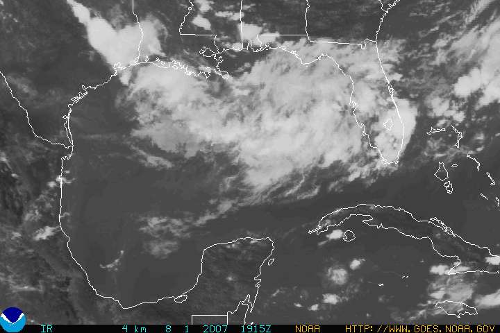
Modelling is keeping Dean on a westerly path. If the current models verify, then we would be looking at a hit near the Yukitan Peninsula then across the southern Gulf of Mexico and making a second landfall into Texas/Mexico. This scenario is based on a strong ridge over Florida that is expected to prevent Hurricane Dean from recurving to the north.
Having said that, any models past 5 days or so are about as effective as a 4 year old with a map and a box of crayons. Most likely the storm will follow a more western track, but at this point, no one in the Gulf of Mexico is out of the woods.
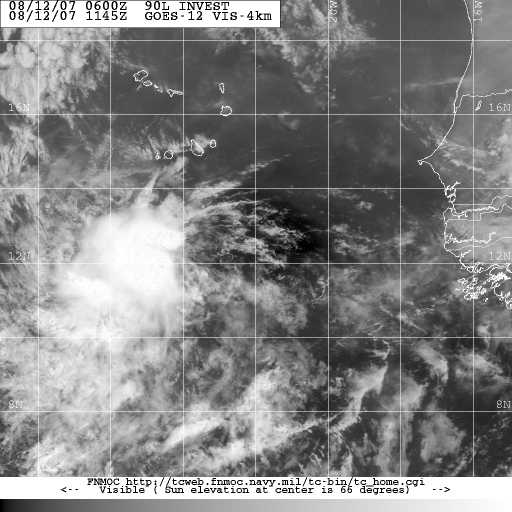
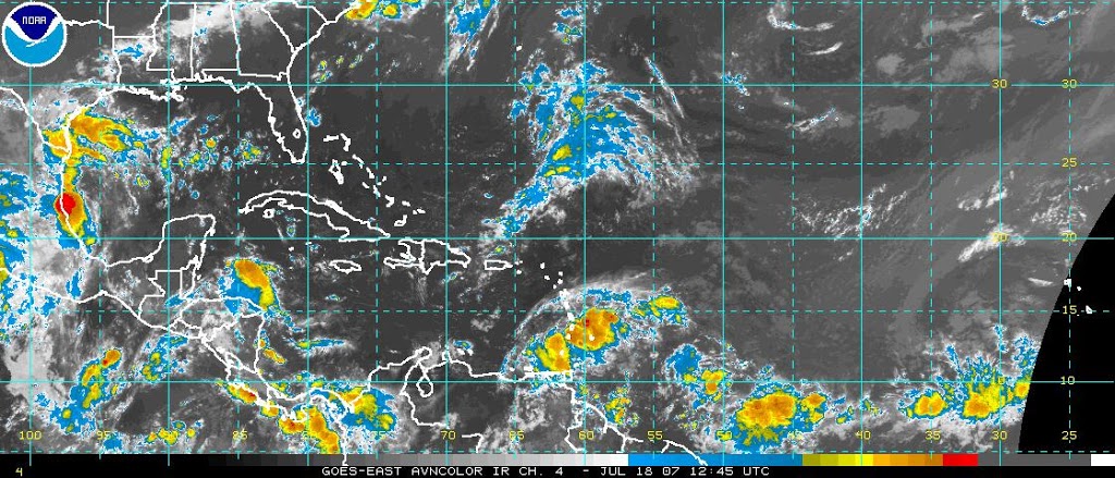
The Lesser Antilles are under the gun, and their conditions should start deteriorating over the next 12-24 hours. Elsewhere the GFS is showing up to two more tropical systems forming in the Atlantic Basin over the next two weeks.

