Invest 90L – TD4


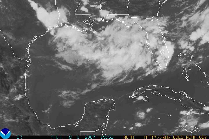
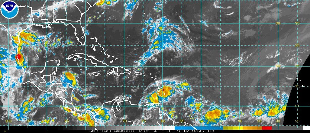
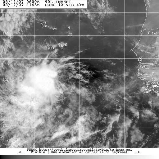
Invest 90L in the Atlantic is expected to become Tropical Depression Number Four later today or tonight. Some models are already calling this TD4. The two most likely events for this storm at this early point are for it to develop into a tropical storm or hurricane (possibly a major hurricane) and it does appear to have the potential to threaten the mainland United States.

The GFS model brings the storm into the Gulf of Mexico, while other models hit at an East Coast strike. There is not much in the way to impede development or the westward motion of the storm. Over the next couple of days we should get a better picture as to the possible track and intensity of this system.

Dr. Jeff Masters anticipates tropical storm/hurricane conditions in the Lesser Antilles as early as Thursday, and he favors the GFS model which brings this system into the Gulf of Mexico. As always, with these long tracking storms, there is a huge margin for error this early into the game.

Yet Another Area of Interest

The models are showing formation in the Carribean by Tuesday, the NHC states that slow development of a low pressure system in the Carribean Sea is likely over the next few days.

If this does occur, this would present the first real Gulf of Mexico threat for the 2007 Hurricane Season.

The official report:

MODEL DIAGNOSTIC DISCUSSION
NWS HYDROMETEOROLOGICAL PREDICTION CENTER CAMP SPRINGS MD
1058 AM EDT FRI AUG 10 2007

…LOW FORMING/MOVING ACROSS THE WRN CARIBBEAN THIS WEEKEND…

REGARDING ITS POSITION…THE 00Z/12Z NAM ARE QUITE SIMILAR BY
13/12Z…HOWEVER THE LATEST RUN APPEARS A BIT MORE BULLISH
SPINNING THIS SYSTEM UP AND IS TRENDING DEEPER THAN THE PREVIOUS
RUN.

Area of Interest

The low that brought much of the region rain over the past few days has moved off shore and is showing signs of rotation.

The NHC is planning a recon flight into the low to ensure that we do not end up staring at another Charley. The 18z NAM shows this becoming an Alabama system, bringing rain and thunderstorms to the coastal areas.

Right now, the jury is out on whether it becomes a tropical system in the Gulf of Mexico. You can see it here: http://www.goes.noaa.gov/HURRLOOPS/gulfvs.html. The image above is a still image of the visible satellite loop. A personal, and most definately not a professional assesment suggests that while this Low Pressure System could become a tropical storm over the next 48 hours, chances are it will remain a simple rain maker for much of the central coastal areas.
Elsewhere, Invest 99L recon flight is complete, and there is no closed rotation or vortex message, which means this systems remains a tropical wave and NOT a tropical depression. Some improvement of Invest 99L is possible over the next 48 hours.

Tropical Storm Chantal is still chugging merrily north and not doing much more and startling a rogue fish or two.

Tropical Storm Chantal

The NHC has issued the following statement:

SATELLITE IMAGES AND QUIKSCAT DATA INDICATE THAT TROPICAL DEPRESSIONTHREE HAS BECOME A TROPICAL STORM WITH ESTIMATED MAXIMUM WINDS OF40 MPH…65 KM/HR WITH HIGHER GUSTS. CHANTAL IS LOCATED ABOUT 330MILES…530 KM…SOUTH OF HALIFAX NOVA SCOTIA AND IS MOVING RAPIDLYTOWARD THE NORTHEAST NEAR 23 MPH…37 KM/HR. CHANTAL IS NOT ATHREAT TO THE UNITED STATES.

This storm is no threat to the Gulf of Mexico, obviously, but is indicative of the increased activity in the Atlantic Basin. Of more concern for us, albeit minor concern, is Invest 99L in the central atlantic. If this low pressure system develops and if it survives the dry air north of it, it could become the 4th named storm, Dean, of this year. Unfortunately, it could also present a threat to the Gulf of Mexico if it tracks further north.

Elsewhere in the Atlantic, things are churning but on the whole all remains fairly quiet.

Atlantic waking up

The Atlantic Basin is beginning to show much more moisture and convection, and possible sign that the “lull” in the hurricane season is ending.

Many experts are suggesting that we could start seeing tropical systems form in the Atlantic as early as next week. Conditions in the Gulf of Mexico are also beginning to become more favorable for storm development.
Currently, there are no significant areas of interest, but from accounts, that is likely to change over the next two weeks. When and if the tropics start flaring up, we will be in a better position to determine who is “under the gun”.

Weather Pattern Change

Dr. Jeff Masters made this observation:

“The long-range GFS model continues to forecast that the persistent trough of low
pressure that has been present over the Eastern U.S. the past two months will
finally move off, to be replaced by a ridge of high pressure by late July. This
would bring a hurricane steering pattern much like we saw in 2004 and 2005, with
increased risk for the Gulf of Mexico and reduced risk for the U.S. East Coast
from the Carolinas northward. The east coast of Florida would remain at normal
to above normal risk.”

What this means to us is that we will probably start seeing more activity in the tropics and should start seeing storms forming and/or entering the Gulf of Mexico towards the end of July and going into August. This does not mean that it’s going to be like 2005 in terms of shear numbers of storms, but the pattern is becoming more favorable for tropical systems.

Still Quiet in the Atlantic Basin

There is a tropical wave approaching the Bahamas that some models are expecting formation into a tropical system that would approach southern Florida on or around the 19th.

There are dry air masses ahead of and behind the tropical wave, so development will be tricky.
While the Atlantic remains fairly quiet, conditions are slowly becoming more favorable for development as we move towards August (the “meat” of our hurricane season).

I expect that the official season analysis will show a reduction in the number of predicted storms, however, I can all but guarantee you all that this season will NOT be as quiet as 2006 was. As always, I hope I am wrong.

Invest 92L – Carribean

The disturbance we discussed last week is still loitering around, now dubbed Invest 92L by the NHC. A recon flight is scheduled for June 1 at 2pm. This system could become a tropical depression by Saturday.

Right now, it appears that this system will become a much needed rain maker for the drought plagued state of Florida. At this time, I see no real threat to the Gulf Shores area and doubt that this system will become “Hurricane Barry”.

Of note, Hurricane Season has not begun, yet this is the third Atlantic Invest in less than a month. All data and modelling aside, that is very indicative of things to come.

Last year was an aberration, and I expect this year to see significant activity in the Gulf of Mexico.

The NGM Model at 48 hours does show some impact for the Gulf Shores/Orange Beach area, but right now the risk of us experiencing tropical conditions remains marginal.

Tropical Depression Andrea?

As you can see, there is no consensus among the models. This storm is sloppy and disorganized, yet wind speeds are remaining consistant. Based on initial data this morning, it appears that sub-tropical storm Andrea has now become tropical depression Andrea, thus converting from a cold core system to a warm core system. (Click on the image to enlarge it.)

The 11:00am advisory from the National Hurricane Center will shed more light on this. Andrea’s future is in doubt, even as persistant of a little storm as she has been. Put simply, the odds are against her. If the NOGAPS and/or BAM models verify, then that would present Andrea with her best chance at survival. This mornings recon listed the wind speed at 39 knots which equals 44.85 (To figure it out the formula is: Knots X 1.15 = MPH)